WALK 9 - KILCHATTAN (THE SOUTH END OF BUTE)
The southernmost area of Bute is but a few miles west of Largs and within sight of Ayr, and yet it feels as remote as Coll and Tiree. The small villages of Kilgarth and Kilchattan have changed little since the mid-20th century, and the very southern coastline of Bute is completely desolete. Kilchattan is overshadowed by the small but very steep hill, Suidhe Chatain. This walk is also remarkably accessible by bus, with hourly buses travelling to and from Kilchattan (Mon - Sat).
(It is best to follow this route clockwise, since the path leading from Kilchattan up Suidhe Chatain is accessed from a back garden, and is difficult to find. This is not a walk for small children, and you must wear hiking boots.)
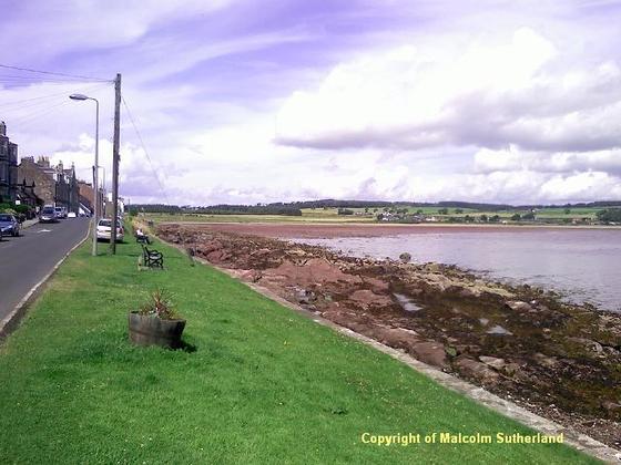
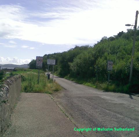
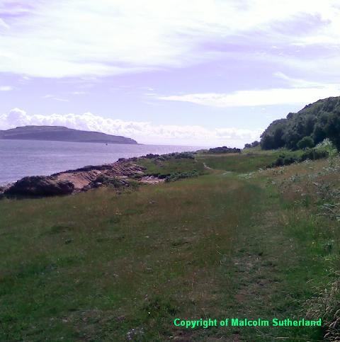
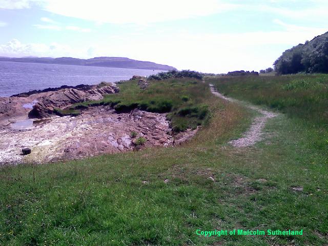
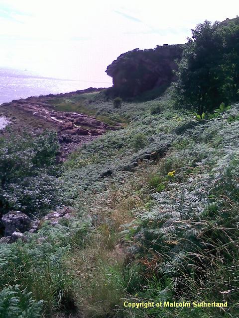
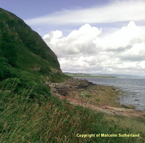
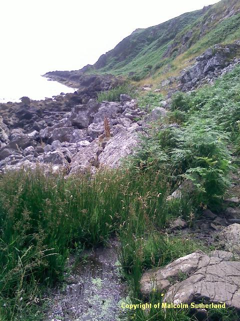
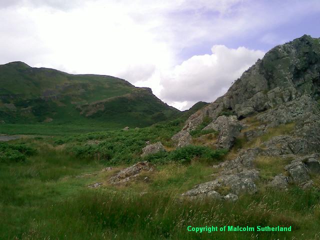
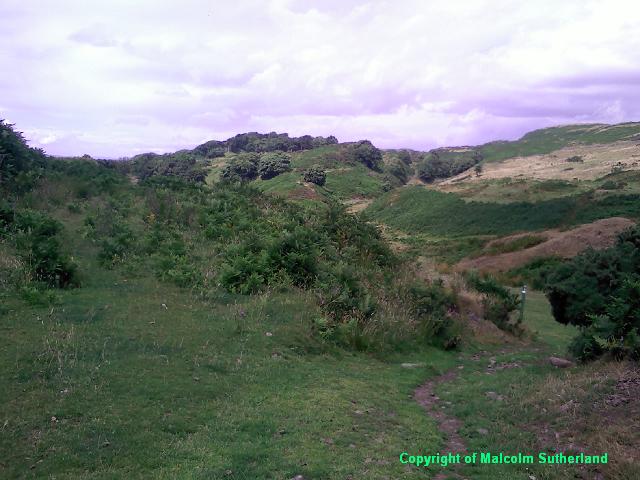
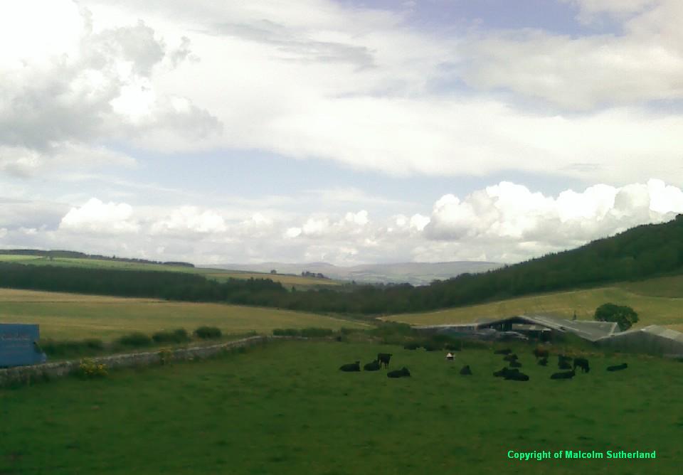
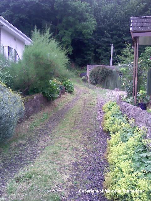
Proceed from the bus stop in the centre of Kilchattan (Photo 1) and follow the road out of the village (Photo 2) until you reach the turning point. The path is signposted, as part of the West Island Way. The route begins as a gentle walk across short grass (Photos 3, 4) for a while, but it becomes more treacherous under the encroaching cliff (Photo 6), and you shall have to clamber over rocks (Photos 5, 7).
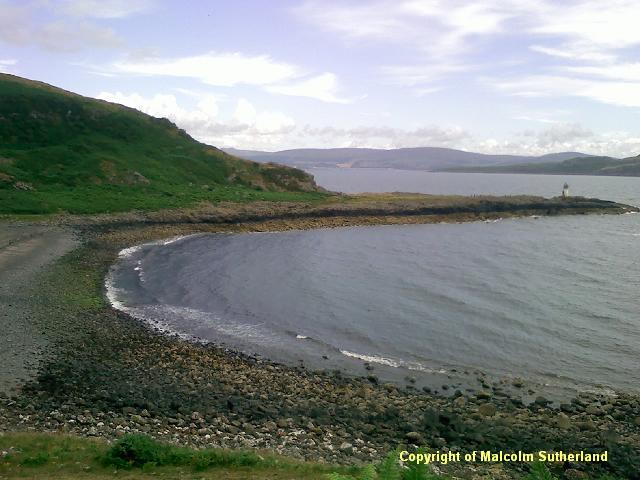
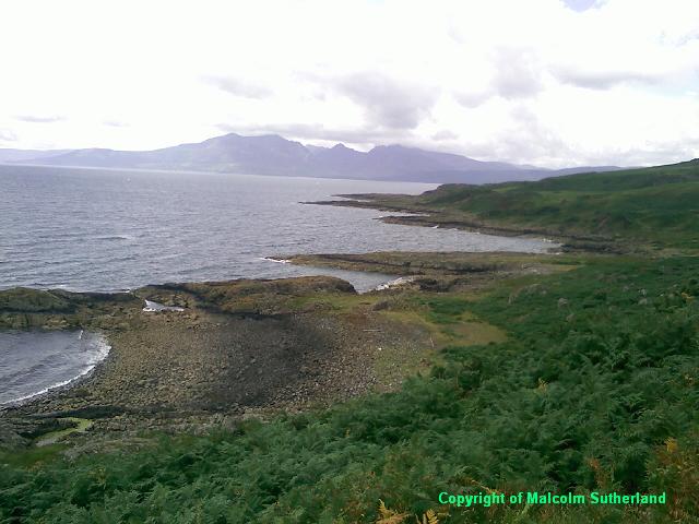
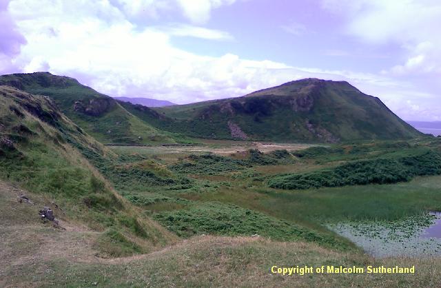
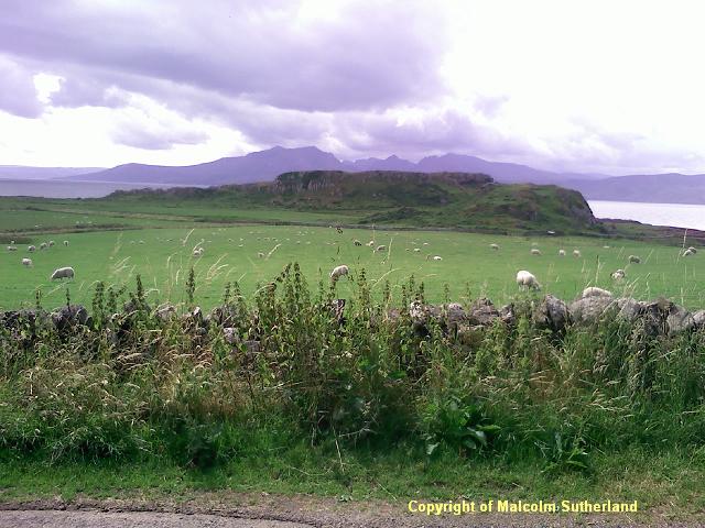
After about a mile of clambering around the cliff, the land levels out, and there is a lighthouse on the southernmost edge of Bute. The path steers west towards a very remote headland (Photo 8) and rocky beach (Photo 9). The path crosses the beach and then up a very steep hill towards a ridge overlooking more rocky beaches, with views of Arran - the closest sight of the island from Ayrshire (Photo 10). Follow the path, past the marshy ground and the small lochan (Photos 11, 12) towards the small farmstead (strangely called 'The Plan') (Photo 13), near the historic ruins of St Blane's church. NB: you shall have to cross through a field outside the farmstead, in order to reach the farm track (**see inset on map**).
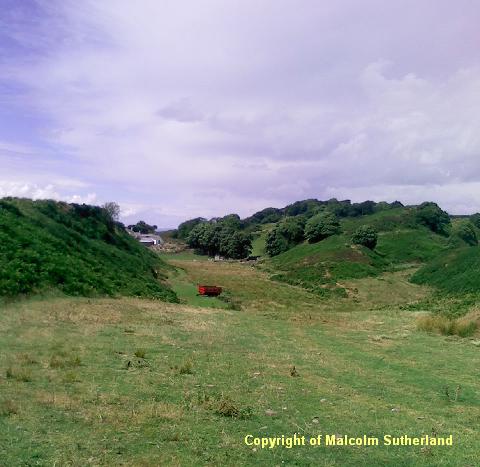
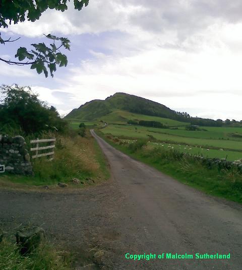
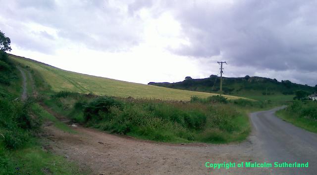
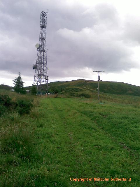
Follow the farm track, which bends its way towards the tarmac road. Follow the road (Photo 15), which passes the ancient rocky redoubt of Dunagoil (Photo 14). Eventually the road twists its way down a short steep hill towards another farm (Photo 16), beyond which there is a steep turn off to the right, which is a track leading up to the mobile phone mast near Suidhe Chatain (Photo 17).
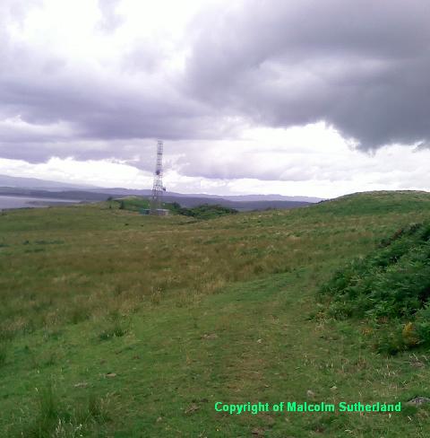
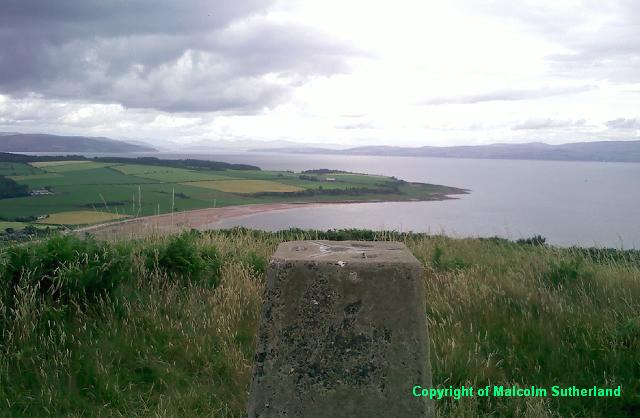
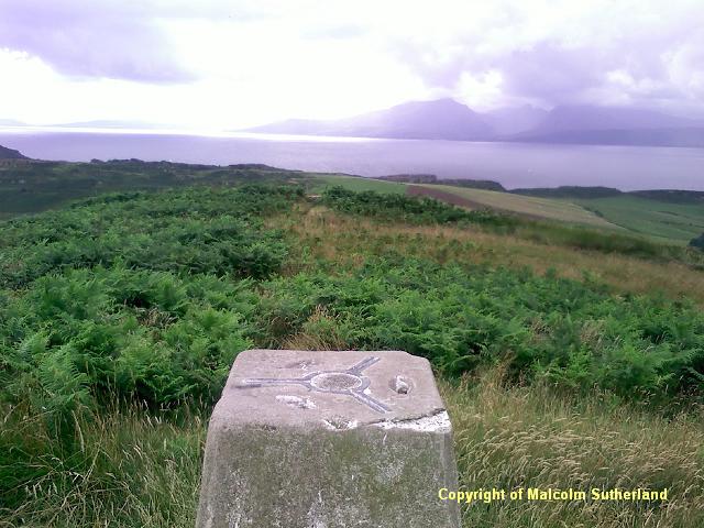
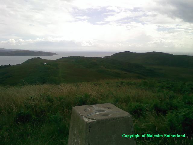
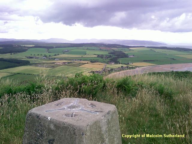
Climb up the steep track towards the mobile phone mast (Photo 18). NB: when you reach the mast, do not try to cross the field to your right, as there is an electrified fence. The barbed wire fence to the left is a safer route. Do not cross through the mobile mast site either (**see inset on map**). Clamber your way across the grass and tufts (Photo 19) in the general direction of Suidhe Chatain, until you reach a track near the summit. From there it is a steep but very short climb to the summit, with a wall to clamber over just before the trig point. From the summit there are views southwest towards Arran (Photo 21a); southeast towards Little Cumbrae and Ardrossan (Photo 21b); and north across Bute towards Argyll (Photo 21c).
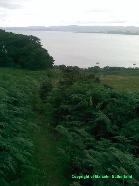
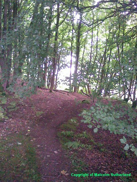
Return the same way down from the summit, but when you reach the paths, take the one heading east down the steep hill towards and into Kilchattan. This is not a clearly marked path, and it can be very slippery in poor weather. Scramble carefully down the hill (Photo 22) until you reach a small woodland (Photo 23). Carry on down the steep path and back into Kilchattan (Photo 24).
Proceed from the bus stop in the centre of Kilchattan (Photo 1) and follow the road out of the village (Photo 2) until you reach the turning point. The path is signposted, as part of the West Island Way. The route begins as a gentle walk across short grass (Photos 3, 4) for a while, but it becomes more treacherous under the encroaching cliff (Photo 6), and you shall have to clamber over rocks (Photos 5, 7).
After about a mile of clambering around the cliff, the land levels out, and there is a lighthouse on the southernmost edge of Bute. The path steers west towards a very remote headland (Photo 8) and rocky beach (Photo 9). The path crosses the beach and then up a very steep hill towards a ridge overlooking more rocky beaches, with views of Arran - the closest sight of the island from Ayrshire (Photo 10). Follow the path, past the marshy ground and the small lochan (Photos 11, 12) towards the small farmstead (strangely called 'The Plan') (Photo 13), near the historic ruins of St Blane's church. NB: you shall have to cross through a field outside the farmstead, in order to reach the farm track (**see inset on map**).
Follow the farm track, which bends its way towards the tarmac road. Follow the road (Photo 15), which passes the ancient rocky redoubt of Dunagoil (Photo 14). Eventually the road twists its way down a short steep hill towards another farm (Photo 16), beyond which there is a steep turn off to the right, which is a track leading up to the mobile phone mast near Suidhe Chatain (Photo 17).
Climb up the steep track towards the mobile phone mast (Photo 18). NB: when you reach the mast, do not try to cross the field to your right, as there is an electrified fence. The barbed wire fence to the left is a safer route. Do not cross through the mobile mast site either (**see inset on map**). Clamber your way across the grass and tufts (Photo 19) in the general direction of Suidhe Chatain, until you reach a track near the summit. From there it is a steep but very short climb to the summit, with a wall to clamber over just before the trig point. From the summit there are views southwest towards Arran (Photo 21a); southeast towards Little Cumbrae and Ardrossan (Photo 21b); and north across Bute towards Argyll (Photo 21c).
Return the same way down from the summit, but when you reach the paths, take the one heading east down the steep hill towards and into Kilchattan. This is not a clearly marked path, and it can be very slippery in poor weather. Scramble carefully down the hill (Photo 22) until you reach a small woodland (Photo 23). Carry on down the steep path and back into Kilchattan (Photo 24).

All text, maps and imagery are copyright of Dr Malcolm Sutherland (2013 - 14).
DISCLAIMER: visitors to this website must take all necessary precautions when travelling to the sites listed in this website and when walking. People viewing this website are entirely responsible for their own transportation, health and safety if they travel to relevant locations and attempt any of the walks listed on this website.
DISCLAIMER: visitors to this website must take all necessary precautions when travelling to the sites listed in this website and when walking. People viewing this website are entirely responsible for their own transportation, health and safety if they travel to relevant locations and attempt any of the walks listed on this website.
