walk 15 - paisley to port glasgow
Of the many miles of railway earmarked for closure in the 1960s, the track running from Paisley to Port Glasgow (via Bridge of Weir and Kilmacolm) was one that was not dismantled straight away. This line ran on borrowed time until the Thatcher government blew the final whistle. In more recent years, SUSTRANS and other organisations converted the old railway route into a cycle lane, 15 miles of two metre-wide tarmac, passing through urban, suburban and rural housing estates, and open countryside. This walk may be flat, but it demands stamina, and will take at least 4 hours to accomplish.
SECTION 1: PAISLEY CANAL STREET TO THE A737 BRIDGE
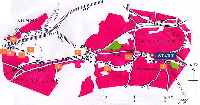
This walk starts at Paisley Canal Street railway station. The railway east of this station was spared the calamity visited upon the Bridge of Weir and Kilmacolm railway line, and the best way to access this path is simply to take the train from Glasgow Central. Visitors from the west (along the Wemyss Bay and Gourock lines) can alight at Paisley Gilmour Street, and wander through the town centre towards Canal Street road, and up Causeyside Street.
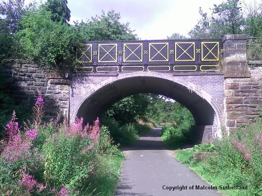
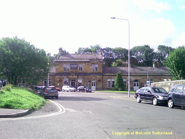
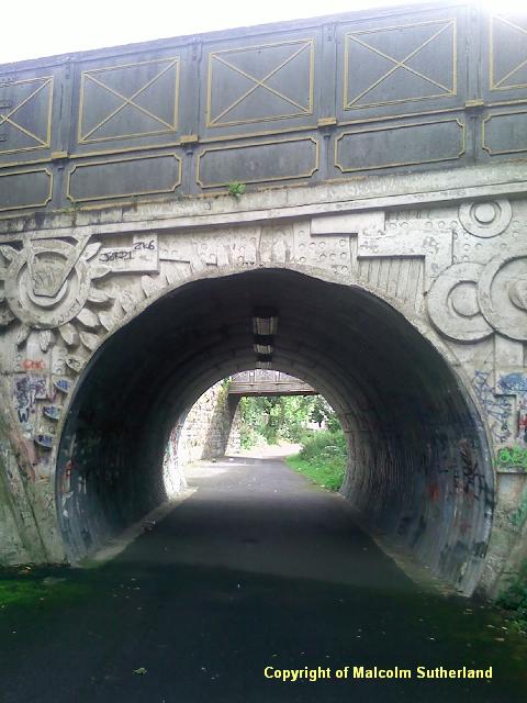
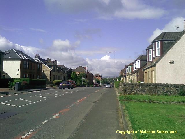
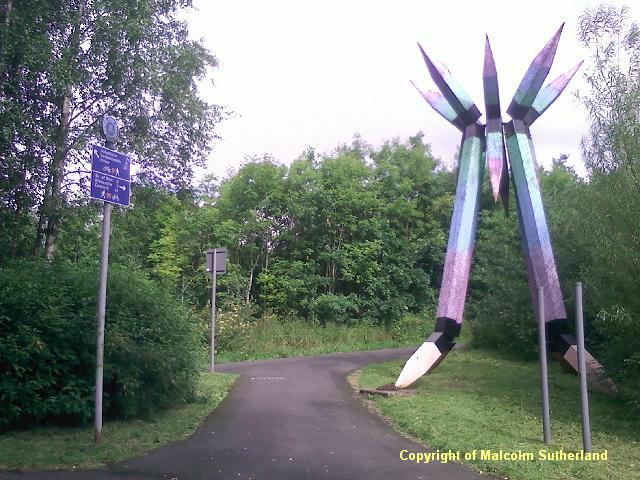
The official path kicks off beside the stately old railway station building (Photo 1). For the first few miles, the path meanders through a cutting past houses, tower blocks and underneath bridges (Photos 2, 3). There's not much to see as a result. The walk becomes more interesting when you cross over Main Road (which enters Johnstone), and wander alongside the Paisley to Ayr railway (Photo 4). The path briefly ends and you'll have to walk along Main Road for about 300 yards (Photo 5).
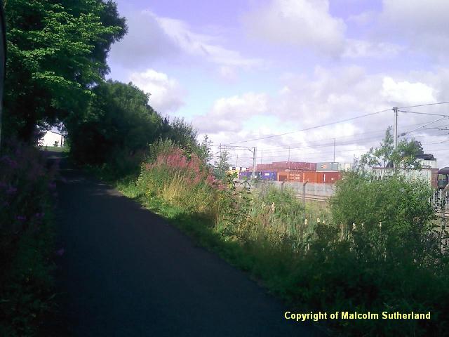
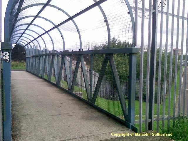
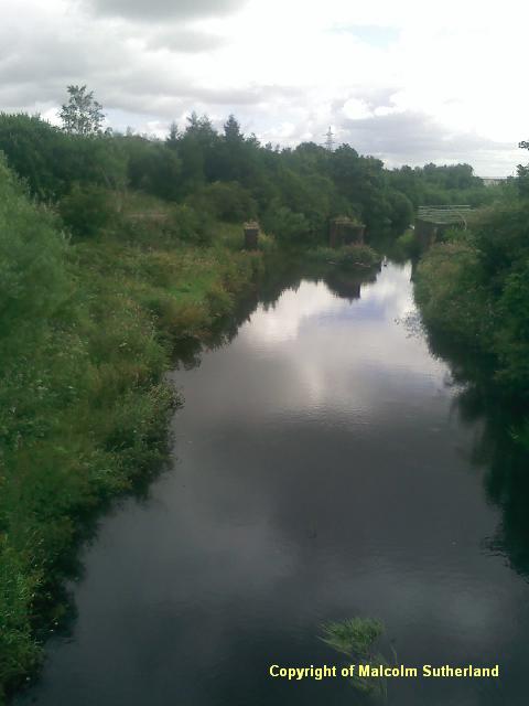
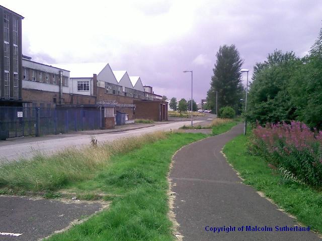
Turn right down Canal Street, walk past the weddings/funerals chaffeur garage, and you'll soon find the path starts again, and turns right and underneath the railway bridge. The path now departs from the town and enters countryside (Photo 6), but also passes the Linwood Industrial Estate, crossing over an old-fashioned workers' bridge (Photo 7). Soon you should reach the bridge over the Black Cart Water (Photo 8). Just past the bridge is the junction (Photo 9): for this walk, turn right and walk up to the bridge over the A737. (NB: the path to Kilbirnie crosses the dual carriageway about half a mile further along - click here for details.
SECTION 2: THE A737 BRIDGE TO KILMACOLM
The official path kicks off beside the stately old railway station building (Photo 1). For the first few miles, the path meanders through a cutting past houses, tower blocks and underneath bridges (Photos 2, 3). There's not much to see as a result. The walk becomes more interesting when you cross over Main Road (which enters Johnstone), and wander alongside the Paisley to Ayr railway (Photo 4). The path briefly ends and you'll have to walk along Main Road for about 300 yards (Photo 5).
Turn right down Canal Street, walk past the weddings/funerals chaffeur garage, and you'll soon find the path starts again, and turns right and underneath the railway bridge. The path now departs from the town and enters countryside (Photo 6), but also passes the Linwood Industrial Estate, crossing over an old-fashioned workers' bridge (Photo 7). Soon you should reach the bridge over the Black Cart Water (Photo 8). Just past the bridge is the junction (Photo 9): for this walk, turn right and walk up to the bridge over the A737. (NB: the path to Kilbirnie crosses the dual carriageway about half a mile further along - click here for details.
SECTION 2: THE A737 BRIDGE TO KILMACOLM
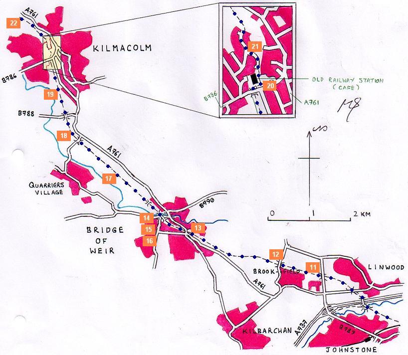
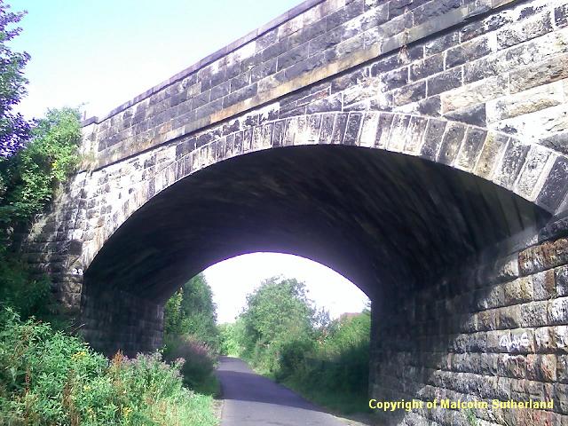
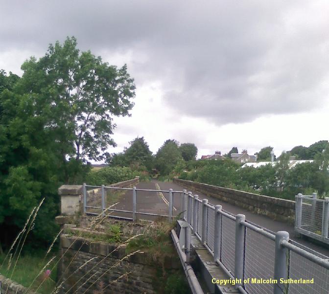
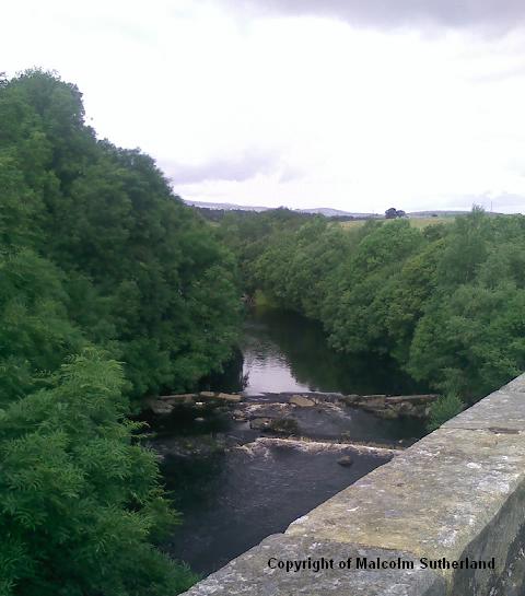
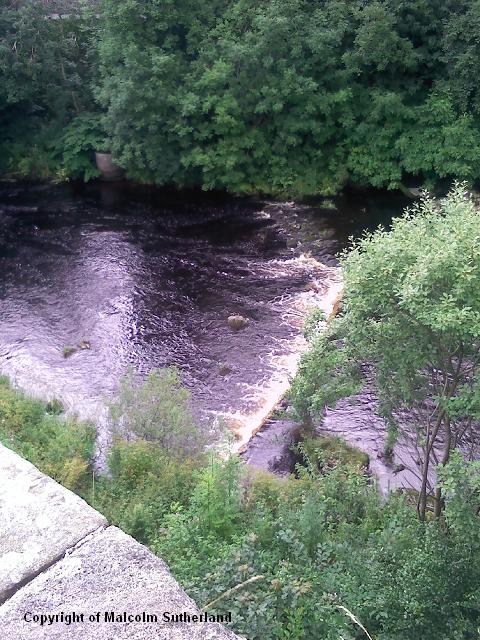
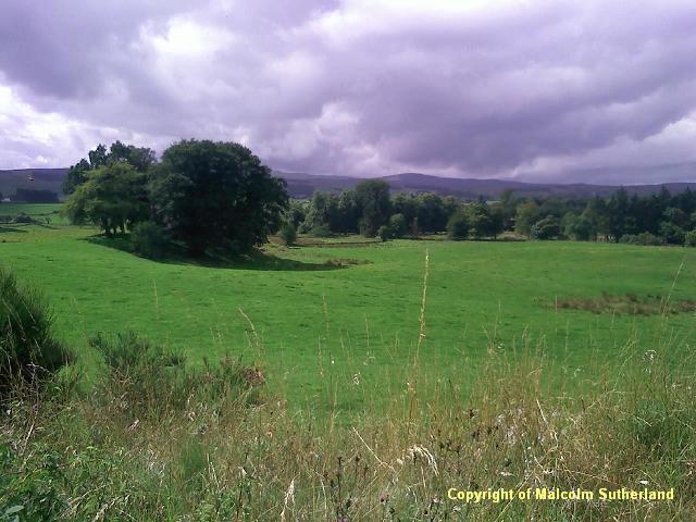
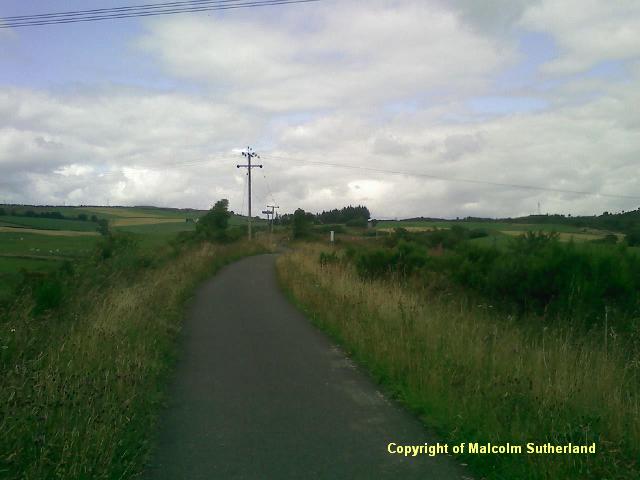
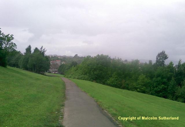
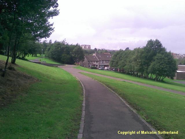
Once you have crossed over the A737 (Photo 10), you walk past a small housing estate, and then you are out in the open countryside (Photo 11). The next couple of miles are fairly featureless, although you pass under some ornate old railway bridges (e.g. in Photo 12). The path enters a woodland, and then you pass under a very wide bridge (Photo 13), and into Bridge of Weir. The path glides past the town centre, into which there is quick access. The main attraction is the viaduct bridge over the Weir (photos 14 to 16).
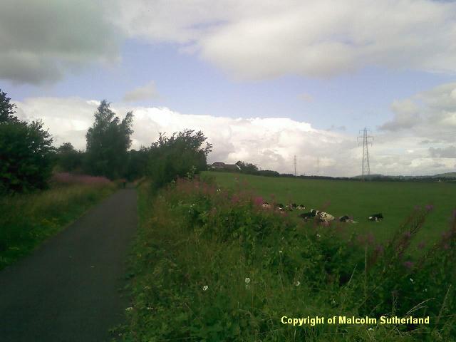
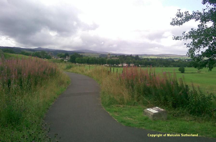
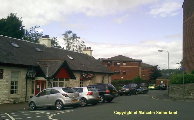
Once you have crossed the bridge, you gradually pass back into open countryside. There are a couple of minor, bizarre features along the path between Bridge of Weir and Kilmacolm, not least the lines of 'soldiers' and a 'sergeant', built of scrap metal parts left behind when the railway was removed. (There is no photo - go check it out for yourself.) More significant is the view towards the Quarriers Village (Photo 17), the work of a Victorian charity which continues to this day. The surrounding countryside is more open but pastoral (Photo 18). You should be approaching Kilmacolm about an hour after leaving Bridge of Weir (Photo 19). The path passes a park, and then into a long wooded cutting, as you approach the town centre. The path crosses under a bridge, and you arrive at the old Kilmacolm station building (Photo 20), which is now a pub and cafe.
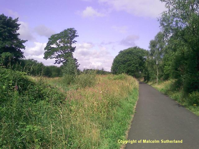
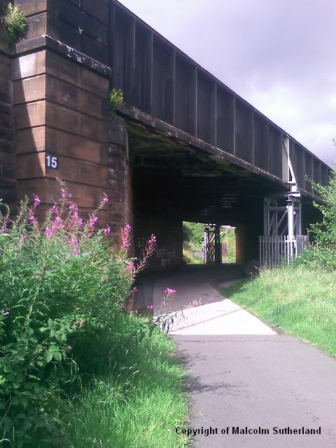
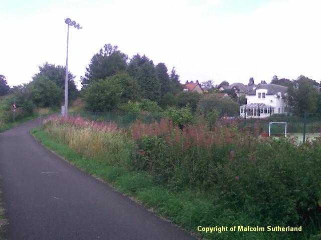
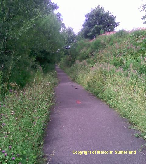
The railway path 'disappears' in Kilmacolm. Refer to the map for directions: cross the car park, walk down a short alley, and then wander along the residential road (Photo 21) and keep heading north until you reach the start of the next path. The path enters more remote and rugged countryside, where the cutting is full of wild vegetation (Photo 22).
SECTION 3: KILMALCOLM TO PORT GLASGOW (WHINHILL)
Once you have crossed the bridge, you gradually pass back into open countryside. There are a couple of minor, bizarre features along the path between Bridge of Weir and Kilmacolm, not least the lines of 'soldiers' and a 'sergeant', built of scrap metal parts left behind when the railway was removed. (There is no photo - go check it out for yourself.) More significant is the view towards the Quarriers Village (Photo 17), the work of a Victorian charity which continues to this day. The surrounding countryside is more open but pastoral (Photo 18). You should be approaching Kilmacolm about an hour after leaving Bridge of Weir (Photo 19). The path passes a park, and then into a long wooded cutting, as you approach the town centre. The path crosses under a bridge, and you arrive at the old Kilmacolm station building (Photo 20), which is now a pub and cafe.
The railway path 'disappears' in Kilmacolm. Refer to the map for directions: cross the car park, walk down a short alley, and then wander along the residential road (Photo 21) and keep heading north until you reach the start of the next path. The path enters more remote and rugged countryside, where the cutting is full of wild vegetation (Photo 22).
SECTION 3: KILMALCOLM TO PORT GLASGOW (WHINHILL)
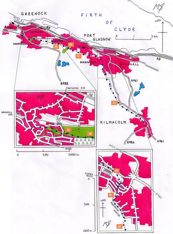
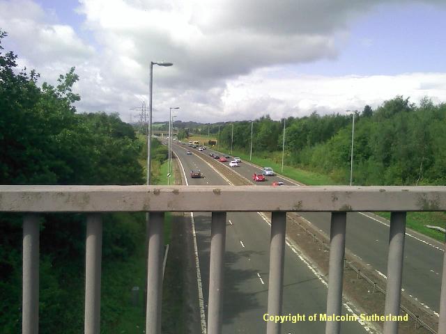
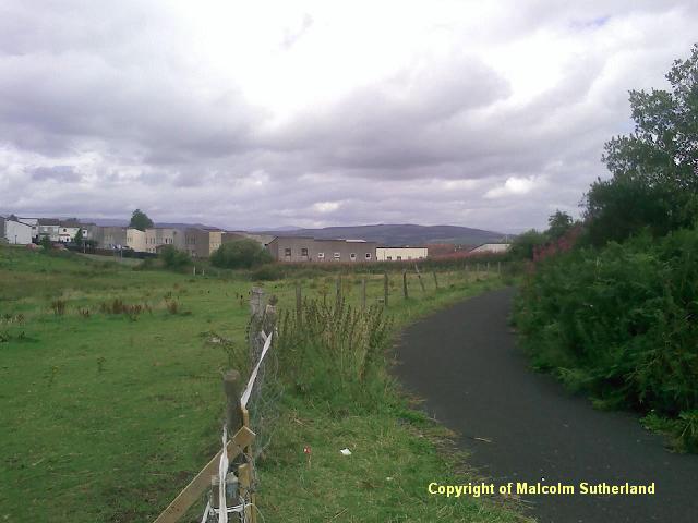
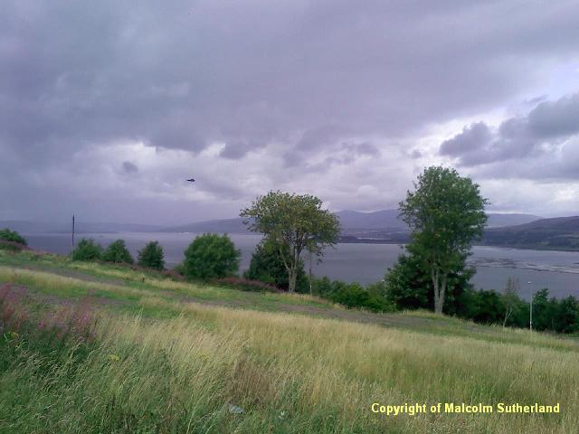
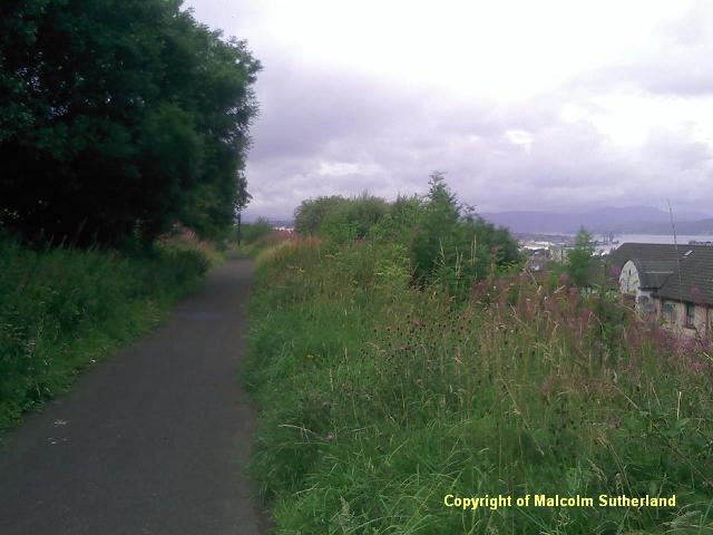
The path begins to climb uphill towards the plateau behind Port Glasgow and Auchinleck. The weeds and trees soon give way to an exposed embankment following the A761 (Photo 23). Eventually you'll reach the top of the hill, and then the path turns a sharp left and further uphill for a short distance. The path then turns a corner and enters Auchinleck (Photo 24). Walk left (west) along Montrose Avenue until you reach Dubbs Road (Photo 25). Cross over the road, and walk down Leperstone Avenue until you find the path passing off from Crosshill Road. The route passes by the Port Glasgow industrial estate: sadly, much of the estate is derelict (Photo 26). However, the path then passes into a narrow strip of woodland and some open countryside (which was formerly industrial land), with the first good view of the Firth of Clyde (Photo 27).
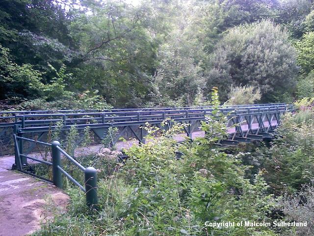
The path passes through more woodland, and approaches a steep gully and a precarious footbridge. (For weary travellers, there is a path from here which leads into Port Glasgow and towards the station and bus stop.) For those wishing to complete the old railway route, cross the footbridge (Photo 28) and climb up the steep side path and back into the old cutting. The woodland soon gives way to a side embankment with views towards Greenock (Photo 29). After about a mile the path enters into the Lady Octavia Park (Photo 30), and finishes at a circular structure near Bridgend Road.
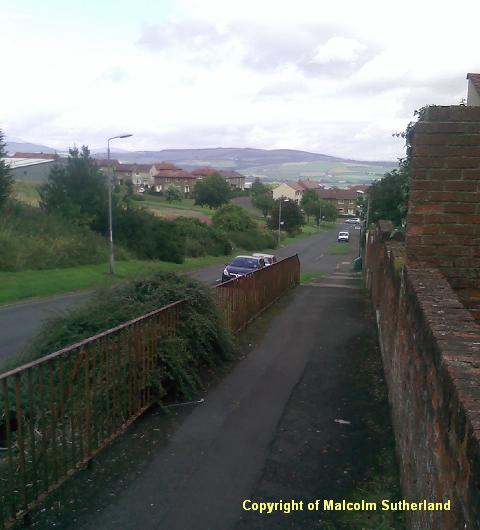
* For those wanting to catch a bus or train from Whinhill, cross over Bridgend Road and walk into the next park. The path ends halfway along, but keep walking towards a narrow alley which leads to Corlic Street. Walk towards Kilmacolm Road and then down the hill.
** For those wanting to catch a bus or train from Greenock (Cartsdyke), walk down Bridgend Road under the bridges, towards Gilmour Street. Turn right and walk down the hill along Sinclair Street. For Cartsdyke station, turn left along Carwood Street.
The path passes through more woodland, and approaches a steep gully and a precarious footbridge. (For weary travellers, there is a path from here which leads into Port Glasgow and towards the station and bus stop.) For those wishing to complete the old railway route, cross the footbridge (Photo 28) and climb up the steep side path and back into the old cutting. The woodland soon gives way to a side embankment with views towards Greenock (Photo 29). After about a mile the path enters into the Lady Octavia Park (Photo 30), and finishes at a circular structure near Bridgend Road.
* For those wanting to catch a bus or train from Whinhill, cross over Bridgend Road and walk into the next park. The path ends halfway along, but keep walking towards a narrow alley which leads to Corlic Street. Walk towards Kilmacolm Road and then down the hill.
** For those wanting to catch a bus or train from Greenock (Cartsdyke), walk down Bridgend Road under the bridges, towards Gilmour Street. Turn right and walk down the hill along Sinclair Street. For Cartsdyke station, turn left along Carwood Street.

All text, maps and imagery are copyright of Dr Malcolm Sutherland (2013 - 14).
DISCLAIMER: visitors to this website must take all necessary precautions when travelling to the sites listed in this website and when walking. People viewing this website are entirely responsible for their own transportation, health and safety if they travel to relevant locations and attempt any of the walks listed on this website.
DISCLAIMER: visitors to this website must take all necessary precautions when travelling to the sites listed in this website and when walking. People viewing this website are entirely responsible for their own transportation, health and safety if they travel to relevant locations and attempt any of the walks listed on this website.
