walk 23 - where the river meets the sea
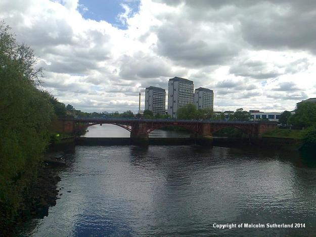
The Firth of Clyde is said to 'end' around Greenock, or possibly Erskine. However, the Clyde is tidal all the way into the very centre of Glasgow, where the boundary between freshwater and saltwater is firmly marked by a weir beneath a cantilever bridge beside Glasgow Green. This unapologetically urban walk follows the last few miles of tidal water from the Esrkine Bridge to Glasgow Green. However, nearly the whole route follows the Clyde from a distance, not least because - despite the ruthless politics of the 1970s and 1980s - much of the waterfront is still heavily industrialised. This walk also provides a vivid insight into the vastness of the Greater Glasgow conurbation, and its rapidly changing landuse.
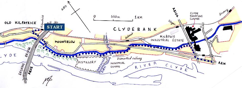
MAP I
This walk starts at Kilpatrick, and follows the Forth-Clyde Canal to Singer and the Clyde Shopping Centre. This first segment is detailed (albeit in the other direction) in Walk 22, with illustrations in photos 16 to 23 on that other web page.
MAP II
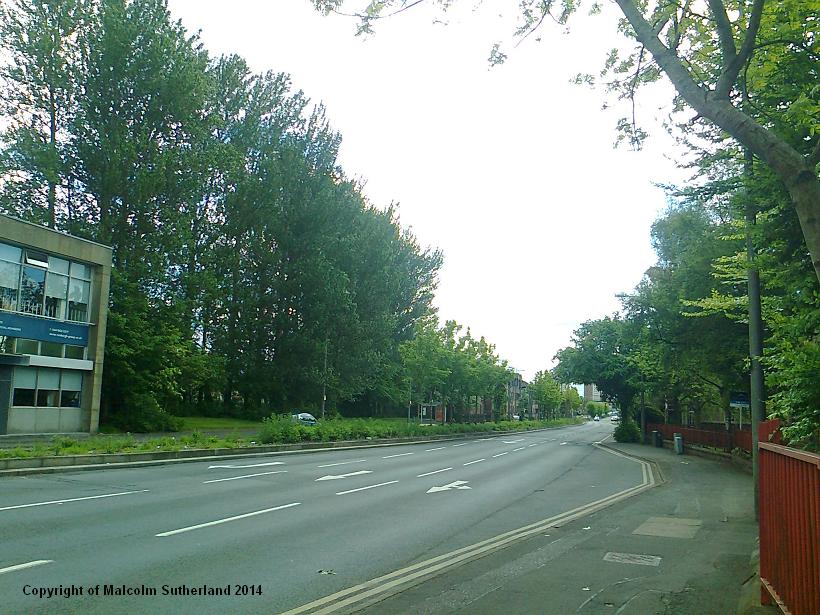
When you reach the outskirts of the shopping centre, take a right turn and walk south along the busy Kilbowie Road. Do not attempt to cross this road or Dumbarton Road except at the pedestrian crossings. When you reach the Kilbowie Road - Dumbarton Road junction, you will find that Dumbarton Road becomes Glasgow Road. Cross over and follow Glasgow Road (photo 1) until you reach the crossing, with North Elgin Street on the other side, and South Elgin Street to your right. Walk down the short South Elgin Street, where you will see the start of the Clydeside path.
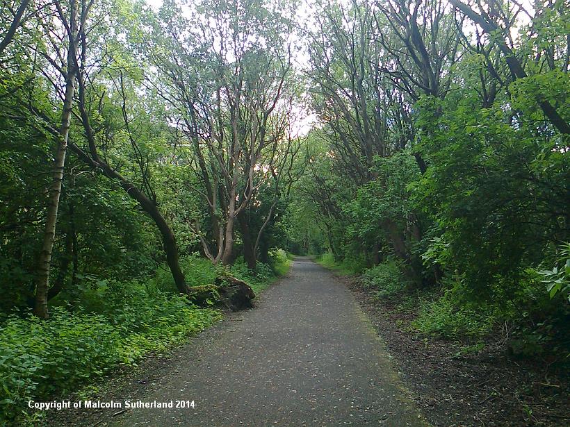
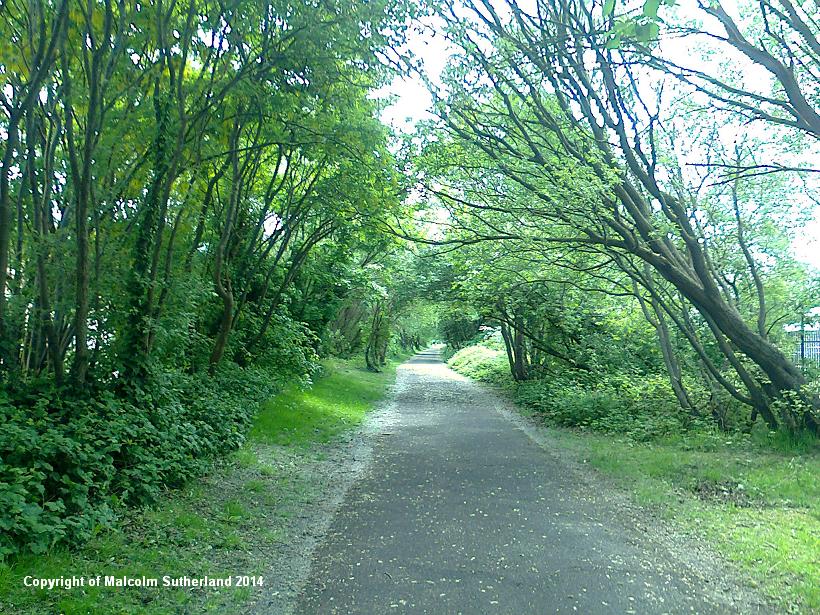
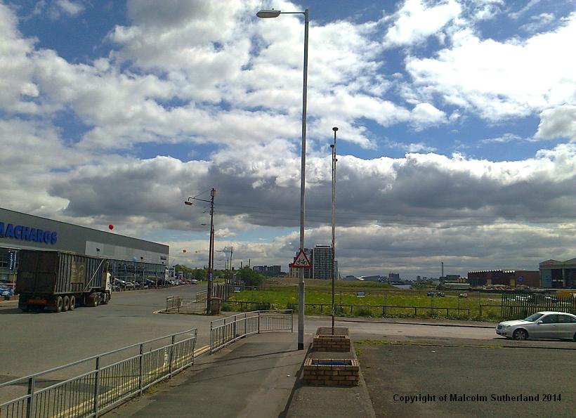
Much of the path is heavily sheltered by trees (photo 2), although you will catch glimpses of the industrial units and fairly modern housing to your north side, and the giant military dockyards to your right. These scenes are suggestive of the devastating bombing of Clydebank during WWII, and the reasons why. This was and still remains a key shipbuilding location, and is still heavily industrialised - the reasons why the Luftwaffe passed over the town. There are almost no pre-1950s housing to be seen. After a while the path passes under a derelict railway bridge (photo 3), and then underneath Dumbarton Road and towards the railway sidings near Yoker station - much of which is buried under vegetation. The path emerges at Kelso Street, and then passes in between Mellerstain Drive and Speirshall Terrace, then into a small park marked by large black doocots. Keep following the path until you cross over Dumbarton Road (where it meets the Kingsway road) (photo 4).
When you reach the outskirts of the shopping centre, take a right turn and walk south along the busy Kilbowie Road. Do not attempt to cross this road or Dumbarton Road except at the pedestrian crossings. When you reach the Kilbowie Road - Dumbarton Road junction, you will find that Dumbarton Road becomes Glasgow Road. Cross over and follow Glasgow Road (photo 1) until you reach the crossing, with North Elgin Street on the other side, and South Elgin Street to your right. Walk down the short South Elgin Street, where you will see the start of the Clydeside path.
Much of the path is heavily sheltered by trees (photo 2), although you will catch glimpses of the industrial units and fairly modern housing to your north side, and the giant military dockyards to your right. These scenes are suggestive of the devastating bombing of Clydebank during WWII, and the reasons why. This was and still remains a key shipbuilding location, and is still heavily industrialised - the reasons why the Luftwaffe passed over the town. There are almost no pre-1950s housing to be seen. After a while the path passes under a derelict railway bridge (photo 3), and then underneath Dumbarton Road and towards the railway sidings near Yoker station - much of which is buried under vegetation. The path emerges at Kelso Street, and then passes in between Mellerstain Drive and Speirshall Terrace, then into a small park marked by large black doocots. Keep following the path until you cross over Dumbarton Road (where it meets the Kingsway road) (photo 4).
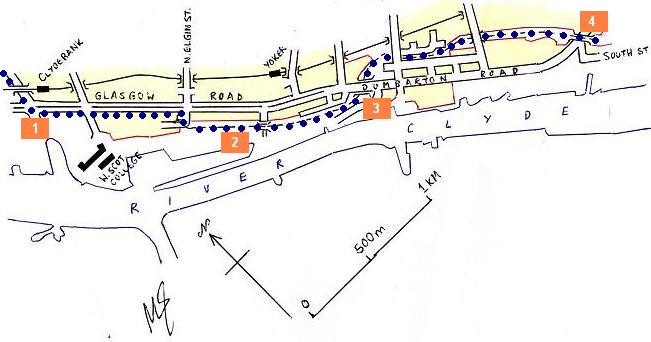
MAP III
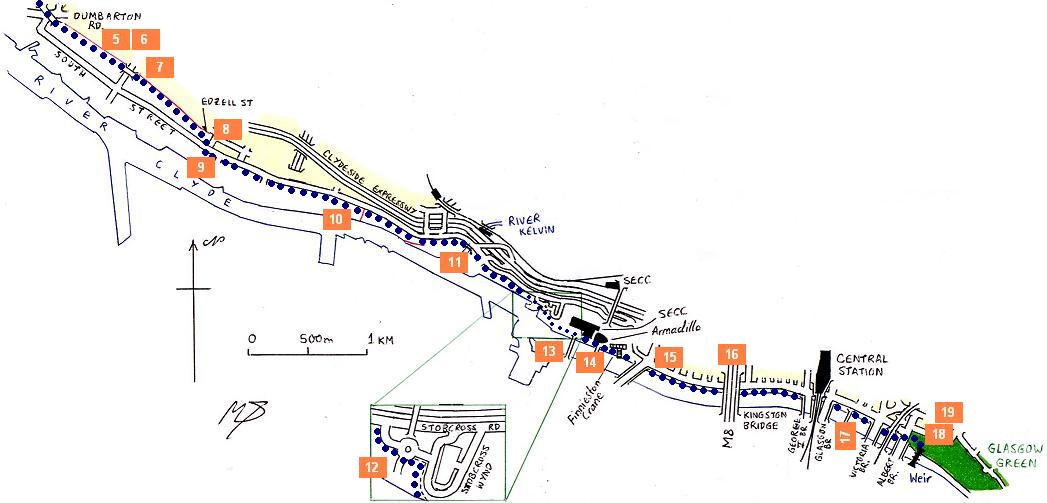
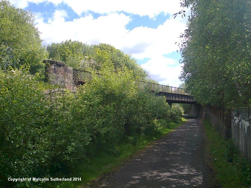
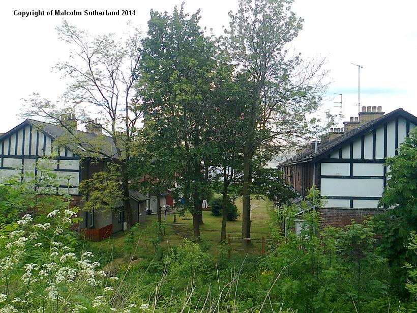
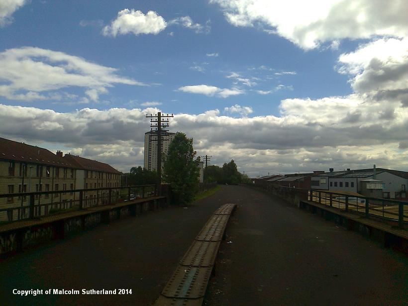
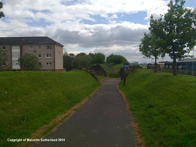
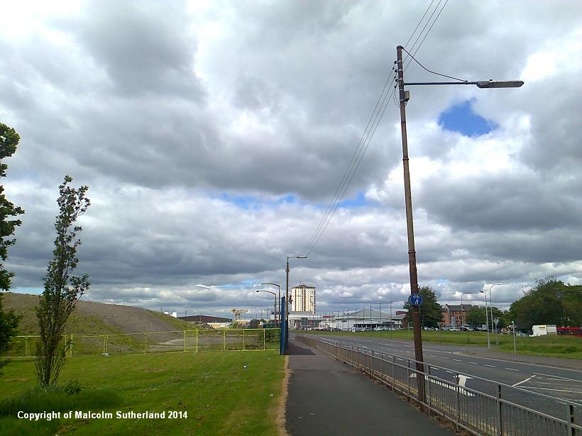
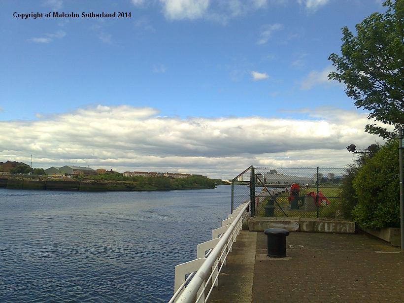
The path becomes the same as it was after South Elgin Street - smothered under trees, overlooking vast dockyards to the right and industrial units to the left (photo 5). This landscape soon gives way to the more residential Scotstoun, where there are more 19th Century buildings, including two Tudor-styled houses near Harland Street (photo 6). The path crosses a few bridges (e.g. photo 7), then descends to street level at Edzell Street, where the old railway foundations are breaches (photo 8). At this point, turn onto the long South Street (photo 9) and follow this road all the way to the Kelvin. This is a journey through an eclectic landscape, with new car showrooms, offices and 'yuppie flats' scattered around bleak former dockland and demolished old industrial buildings (photo 10). This route is the closest the walker gets to the mouth of the Kelvin (photo 11) - a dull, anticlimatic exit for a river that is a key attraction in Glasgow's West End.
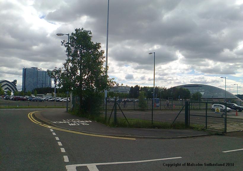
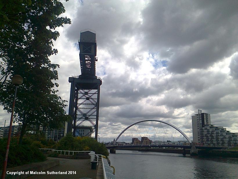
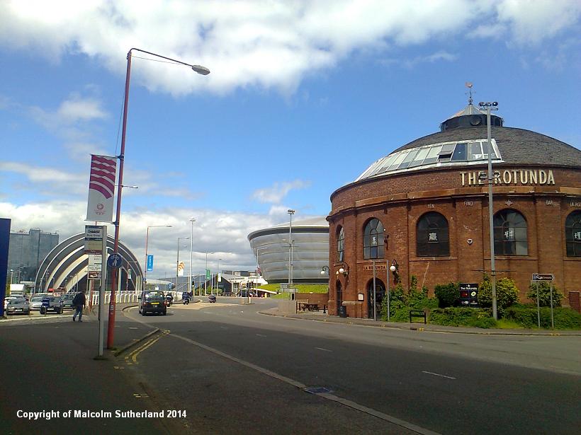
Once you have crossed over the Kelvin, take the first road to your right and follow the path from the car park outside the new Transport Museum and Tall Ship (although these attractions are definitely worth breaking the journey). Keep your geographical wits about you as you follow Stobcross Road - a few hundred metres along from the museum car park is a narrow road to your right that ends in a roundabout, and then leads to a large car park and Stobcross Wynd (photo 12). Cross the roundabout and follow the signs (and the numerous cyclists and joggers) along a pavement and to the waterfront itself (photo 13). At long last you can walk alongside The River Clyde, although the route deviates slightly when you pass the Finieston Crane (photo 14), and one of the Rotunda buildings (photo 15) which marked the long-disused pedestrian walkway under the Clyde (you can see the other rotunda building on the other side).
The waterfront path resumes alongside Lancefield Quay road, which soon becomes Anderston Quay road, which in turn passes under the
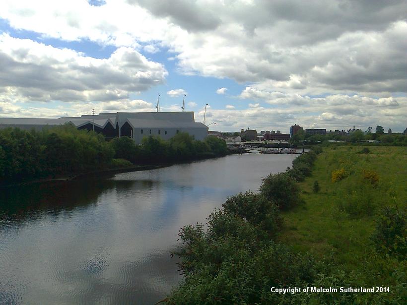
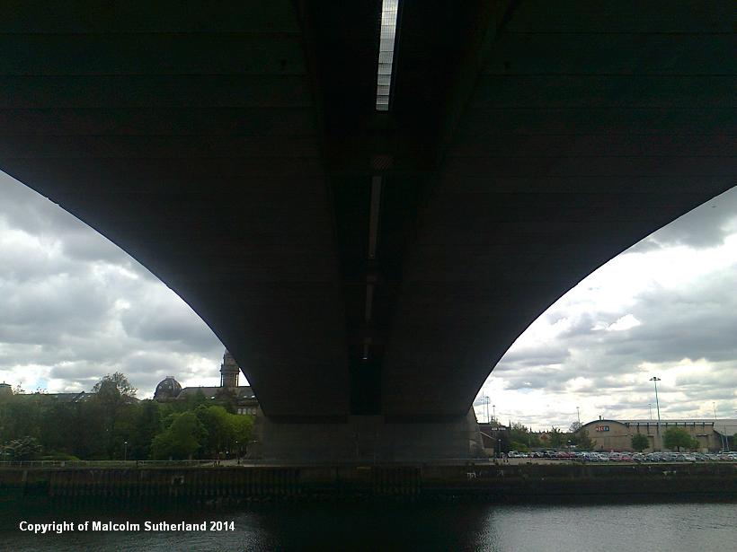
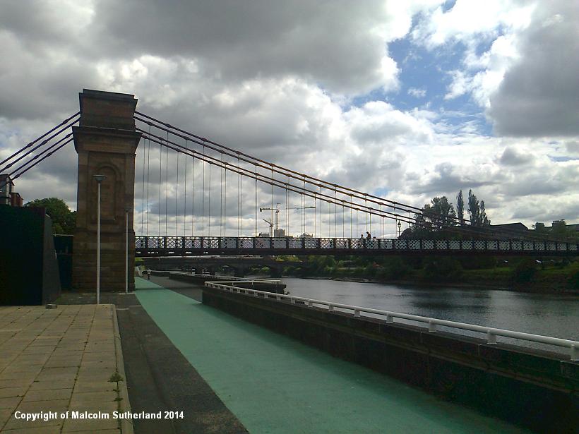
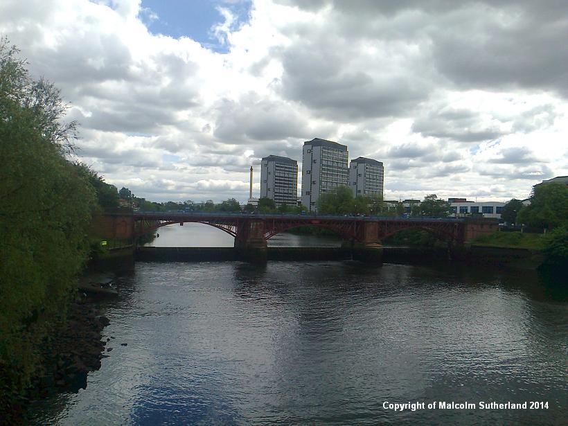
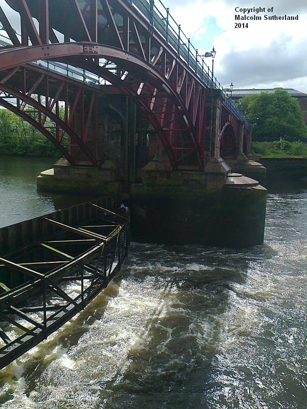
unmistakable and imposing Kingston Bridge (photo 16). This concrete collossus bears the M8 motorway, and is said to be the busiest road bridge in the EU. Carry on following the waterside, as you pass the numerous pedestrian, road and rail bridges between the M8 and Glasgow Green (photo 17). Glasgow Green lies across the road, just beyond Albert Bridge, where you can see the metal barrier weir that buttresses the freshwater river (photos 18, 19). (This, in my opinion, is where the 'firth' ends and the river begins.)
This walk marks one extreme end of the span of the estuarine and marine Clyde water body and geographical area. Walks 29 and 30 south of Ayr, as well as some walks on Arran (26 - 28), are approximate markers for where the firth ends and the open sea starts. However, Walk 25 carries on from Glasgow Green and follows the river up towards Hamilton, and therefore compliments this route.
The path becomes the same as it was after South Elgin Street - smothered under trees, overlooking vast dockyards to the right and industrial units to the left (photo 5). This landscape soon gives way to the more residential Scotstoun, where there are more 19th Century buildings, including two Tudor-styled houses near Harland Street (photo 6). The path crosses a few bridges (e.g. photo 7), then descends to street level at Edzell Street, where the old railway foundations are breaches (photo 8). At this point, turn onto the long South Street (photo 9) and follow this road all the way to the Kelvin. This is a journey through an eclectic landscape, with new car showrooms, offices and 'yuppie flats' scattered around bleak former dockland and demolished old industrial buildings (photo 10). This route is the closest the walker gets to the mouth of the Kelvin (photo 11) - a dull, anticlimatic exit for a river that is a key attraction in Glasgow's West End.
Once you have crossed over the Kelvin, take the first road to your right and follow the path from the car park outside the new Transport Museum and Tall Ship (although these attractions are definitely worth breaking the journey). Keep your geographical wits about you as you follow Stobcross Road - a few hundred metres along from the museum car park is a narrow road to your right that ends in a roundabout, and then leads to a large car park and Stobcross Wynd (photo 12). Cross the roundabout and follow the signs (and the numerous cyclists and joggers) along a pavement and to the waterfront itself (photo 13). At long last you can walk alongside The River Clyde, although the route deviates slightly when you pass the Finieston Crane (photo 14), and one of the Rotunda buildings (photo 15) which marked the long-disused pedestrian walkway under the Clyde (you can see the other rotunda building on the other side).
The waterfront path resumes alongside Lancefield Quay road, which soon becomes Anderston Quay road, which in turn passes under the
unmistakable and imposing Kingston Bridge (photo 16). This concrete collossus bears the M8 motorway, and is said to be the busiest road bridge in the EU. Carry on following the waterside, as you pass the numerous pedestrian, road and rail bridges between the M8 and Glasgow Green (photo 17). Glasgow Green lies across the road, just beyond Albert Bridge, where you can see the metal barrier weir that buttresses the freshwater river (photos 18, 19). (This, in my opinion, is where the 'firth' ends and the river begins.)
This walk marks one extreme end of the span of the estuarine and marine Clyde water body and geographical area. Walks 29 and 30 south of Ayr, as well as some walks on Arran (26 - 28), are approximate markers for where the firth ends and the open sea starts. However, Walk 25 carries on from Glasgow Green and follows the river up towards Hamilton, and therefore compliments this route.
All text, maps and imagery are copyright of Dr Malcolm Sutherland (2013 - 14).
DISCLAIMER: visitors to this website must take all necessary precautions when travelling to the sites listed in this website and when walking. People viewing this website are entirely responsible for their own transportation, health and safety if they travel to relevant locations and attempt any of the walks listed on this website.
DISCLAIMER: visitors to this website must take all necessary precautions when travelling to the sites listed in this website and when walking. People viewing this website are entirely responsible for their own transportation, health and safety if they travel to relevant locations and attempt any of the walks listed on this website.
