walk 14 - crosbie hills
The Crosbie Hills form the southern cornerstone of the volcanic Muirshiel hills. To the south lies Ardrossan, Kilwinning and their surrounding towns and villages, and the flat expanse of central Ayrshire. Yet the Crosbie Hills are off the beaten track, and the route to the summits is neither marked on most maps, nor obvious to the visitor. The views from the summit (on a good day) are more than compensation for patience and careful navigation.
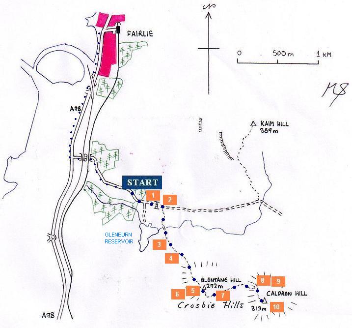
The most convenient starting point is somewhere along the narrow road just outside the small Glenburn Reservoir fishing club. There are a few grass and gravel patches along the roadside. For those living in Fairlie or who have the time, it is possible to alight at Fairlie railway station or at a bus stop in the village, and then walk along the path along the A78 to the junction (see map). The A78 is dangerous, and crossing this road is not recommended. Nor are walkers advised to park their cars at the foot of the hill (at the start of the minor road), as this is private land.
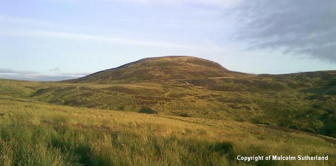
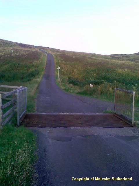
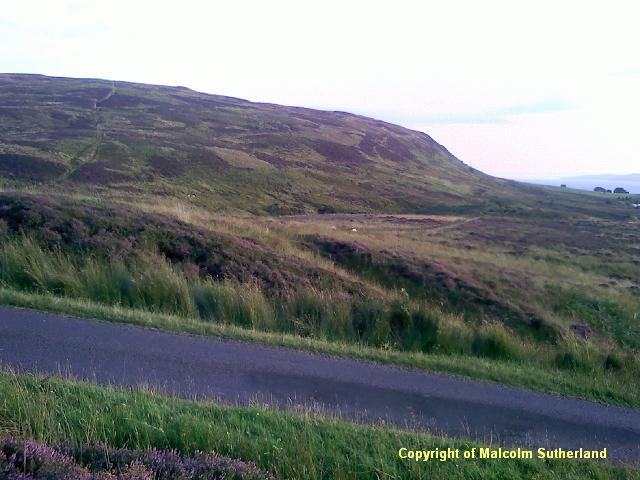
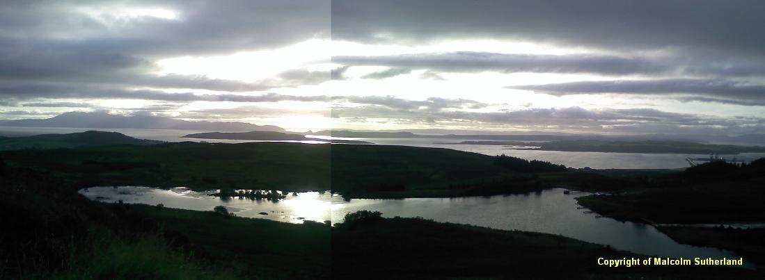
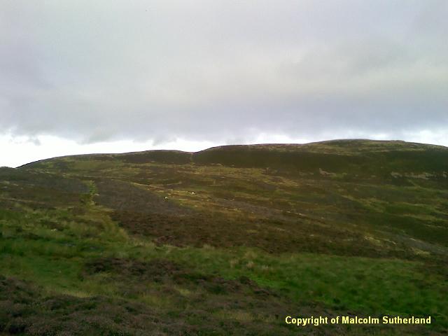
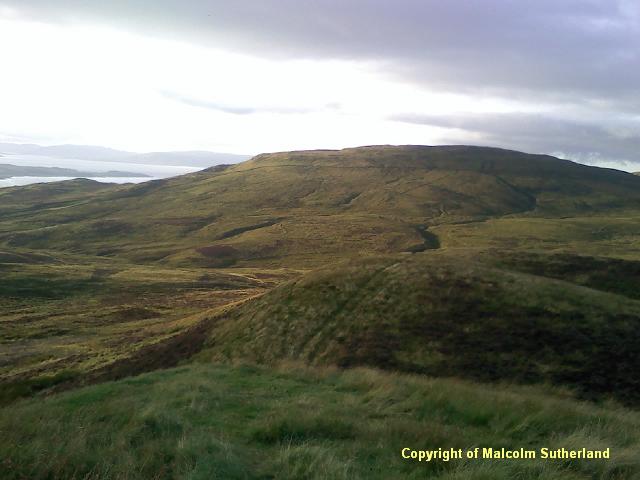
Cross the cattle grid (Photo 1), and watch the right hand side of the road for the start of the faint landrover tracks, which lead up the hill (Photo 2). Wander along the tracks, crossing the burn and then up the steep side of Glentain hill which overlooks the fishing club (Photos 3, 4). The path becomes steep, but this does not take too long to assail. The summit of Glentain Hill is rather featureless (Photo 5), but the view west is anything but so (Photo 6).
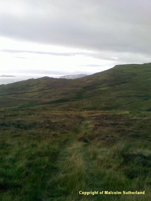
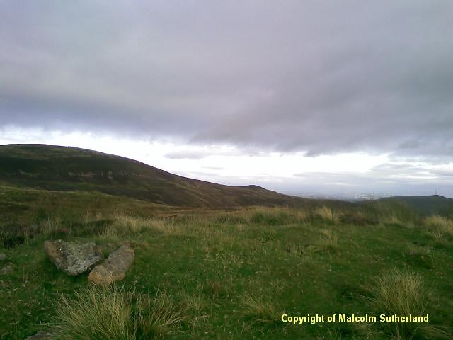
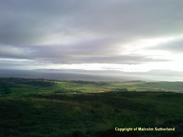
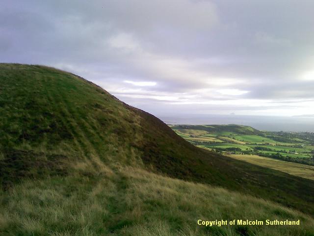
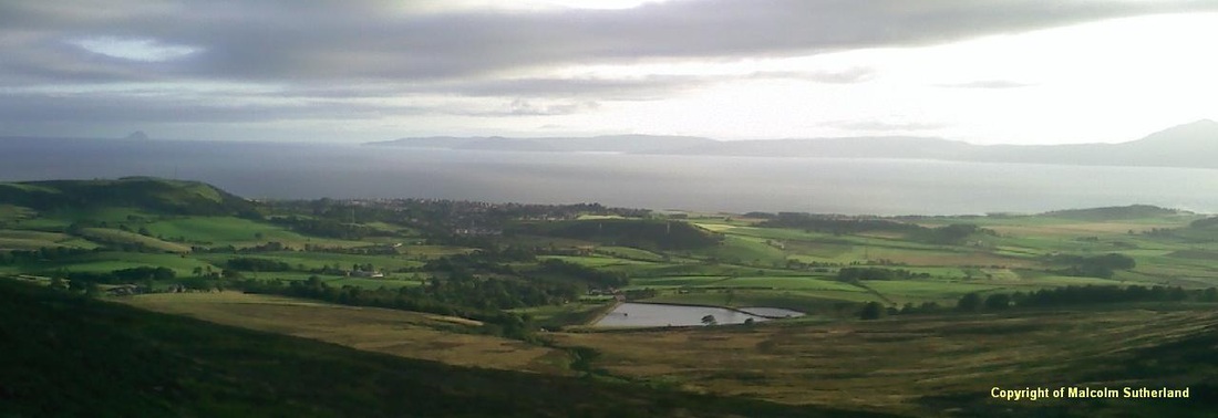
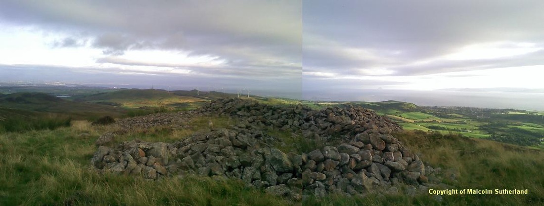
The path descends down the hill on the south side, and eventually turns sharp left and towards Caldron Hill (Photo 7). The tracks become faint in places, and very marshy. However, you may see the black wooden panels following the tracks: these are used by grouse shooters. Follow the tracks and the panels (which are numbered, and descend to No. 1, nearest Caldron Hill). The path then bends and climbs up a ridge towards Caldron Hill (Photos 8, 9). The summit of Caldron hill is marked by a stone encirclement (Photos 10a, 10b). The best views are to the south and west. However, there is also an opening up of a view to the east, of the strath which runs from Dalry to Paisley.
Cross the cattle grid (Photo 1), and watch the right hand side of the road for the start of the faint landrover tracks, which lead up the hill (Photo 2). Wander along the tracks, crossing the burn and then up the steep side of Glentain hill which overlooks the fishing club (Photos 3, 4). The path becomes steep, but this does not take too long to assail. The summit of Glentain Hill is rather featureless (Photo 5), but the view west is anything but so (Photo 6).
The path descends down the hill on the south side, and eventually turns sharp left and towards Caldron Hill (Photo 7). The tracks become faint in places, and very marshy. However, you may see the black wooden panels following the tracks: these are used by grouse shooters. Follow the tracks and the panels (which are numbered, and descend to No. 1, nearest Caldron Hill). The path then bends and climbs up a ridge towards Caldron Hill (Photos 8, 9). The summit of Caldron hill is marked by a stone encirclement (Photos 10a, 10b). The best views are to the south and west. However, there is also an opening up of a view to the east, of the strath which runs from Dalry to Paisley.
All text, maps and imagery are copyright of Dr Malcolm Sutherland (2013 - 14).
DISCLAIMER: visitors to this website must take all necessary precautions when travelling to the sites listed in this website and when walking. People viewing this website are entirely responsible for their own transportation, health and safety if they travel to relevant locations and attempt any of the walks listed on this website.
DISCLAIMER: visitors to this website must take all necessary precautions when travelling to the sites listed in this website and when walking. People viewing this website are entirely responsible for their own transportation, health and safety if they travel to relevant locations and attempt any of the walks listed on this website.
