WALK 5 - WEMYSS BAY TO INVERKIP
There is only one road between Skelmorlie and Inverkip. The A78 is a vital artery between the two towns, and it is understandable why the railway running alongside the road was not dismantled in the 1960s. Two centuries earlier, another road ran between the towns. This one was narrower, composed of gravel, and was around 50m above sea level, and a few hundred metres inland. This walk follows both roads old and modern, and circles around the Wemyss Bay residential estate.
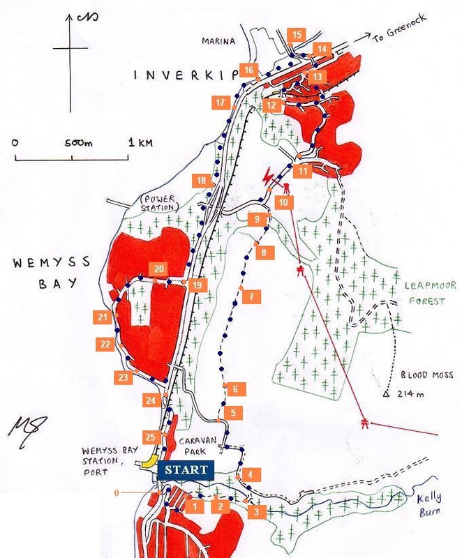
This is another loop walk, and the walker has a choice: start at Inverkip; or start at Wemyss Bay outside the train station and bus stop. This guide starts at Wemyss Bay. NB: this route was surveyed and photographed shortly before the demolition of the Inverkip Power Station tower. Unfortunately the weather was not perfect either.
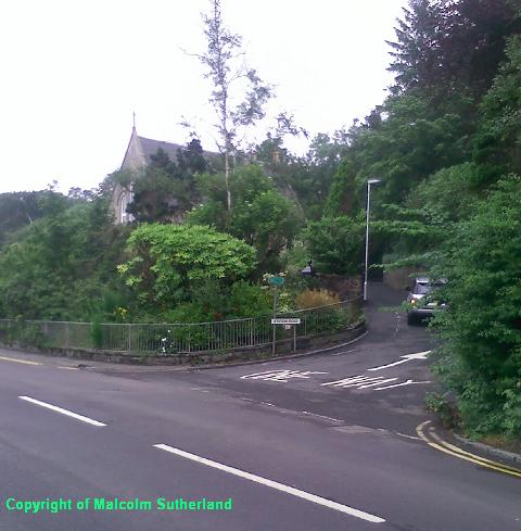
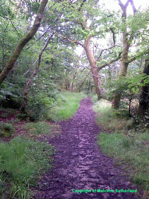
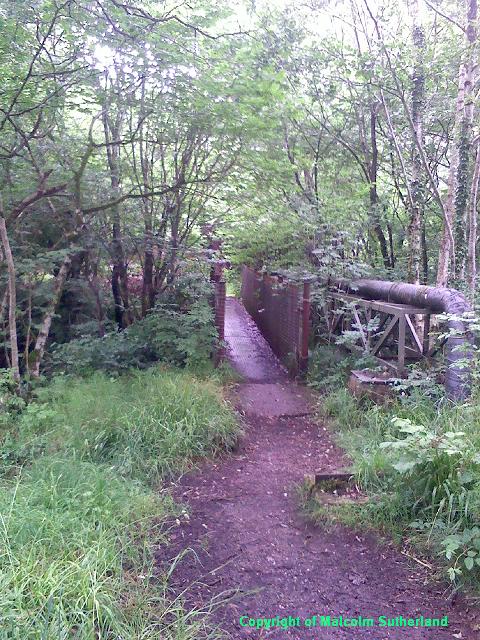
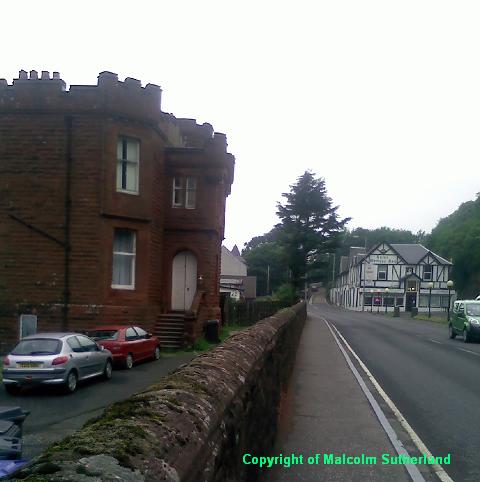
Walk south across the bridge over the Kelly Burn, and turn sharp left up the steep Station Road past the converted kirk (Photo 1). Carry on up the hill and take the second left road, and then right towards Montgomerie Drive. Walk along the road until you find the entrance to the woodland. The walk through the wood is very muddy in places, but after a couple of hundred yards, the old gravel road appears (Photo 2). Follow this towards the narrow footbridge over the Kelly Burn (Photo 3).
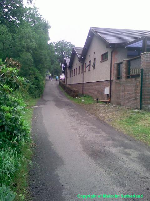
Climb up the short, rocky track between the bridge and the back road. Turn left and down the back road towards the caravan site. Keep following the tarmac road past the small leisure centre (Photo 4), which turns a sharp left and carries on for another couple of hundred yards until you reach a junction. Turn right and follow the tarmac road, which leaves the caravan site and past some fields with horses (Photo 5). The road then bends to the left and passes a barn, where there is a track to the right, which leads to the old back road.
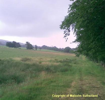
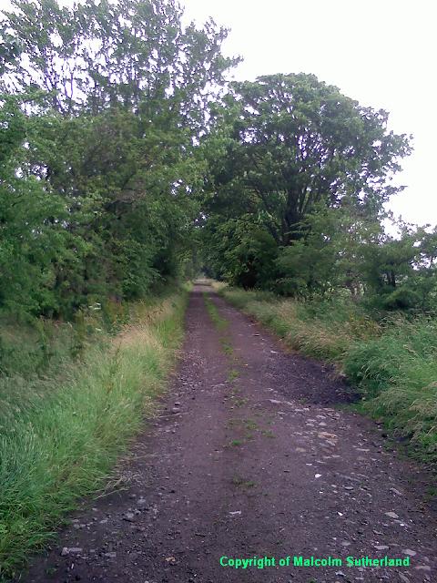
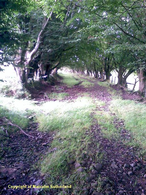
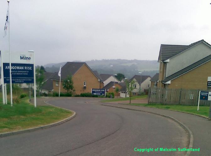
Much of the old road is rough gravel and loose stones plus some large embedded rocks, and can be very slippery in the rain and in winter. The first part of the road is fenced (Photo 6), but the second section follows a line of trees (Photo 7). You reach a shallow plateau, beyond which is a gate, and the path then passes under a canopy of trees. The road heading downhill towards the upper Inverkip estate consists of loose rocks and must be trodden carefully (Photo 8). The road links with the back road leading east to the (recent) housing estate at the back of Inverkip (Photo 9).
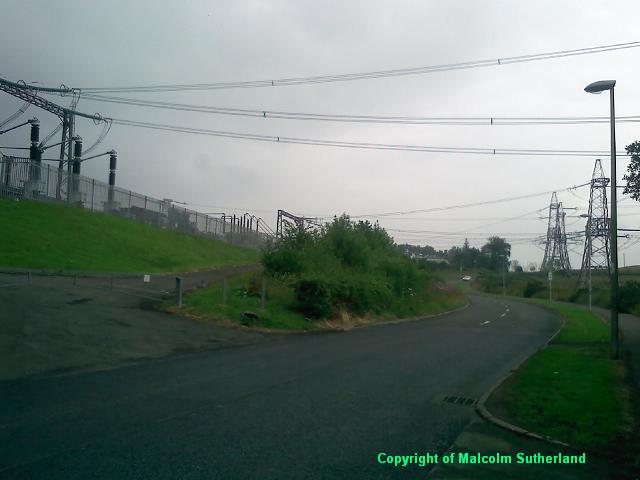
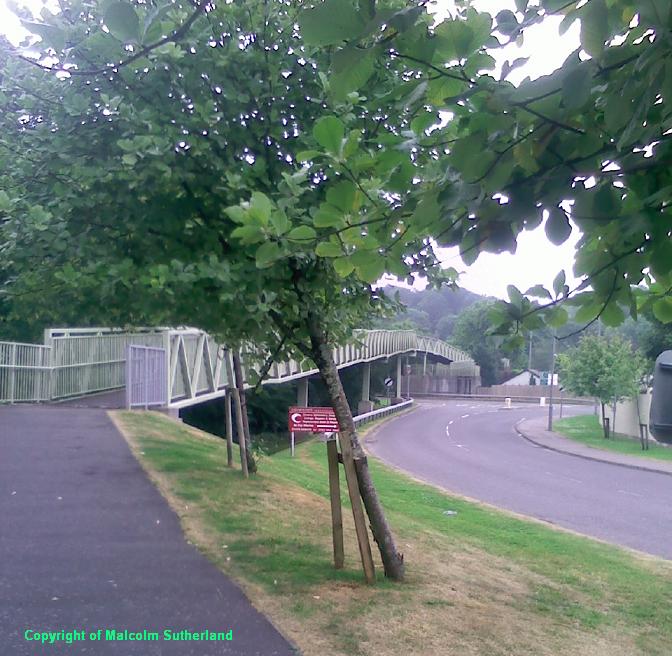
Turn right and keep to the pavement as you walk along the road towards the houses. This road passes under FOUR sets of pylons, and is not suitable for minors; above all, do not walk along here during a thunderstorm (Photo 10). If and when you reach the top of the hill, take the first road left down what is now Lairds Dyke Road (Photo 11). This road meanders its way down a steep hill, and turns left and meanders some more before you reach the path leading to the recently completed footbridge over Inverkip railway station (Photo 12). (If this footbridge is closed, there is another one about half a mile east. A road leads off the right from Lairds Dyke Road, and there is a path to this older concrete footbridge. The old footbridge is steep and the narrow path further down the hill is slippery and covered with moss.)
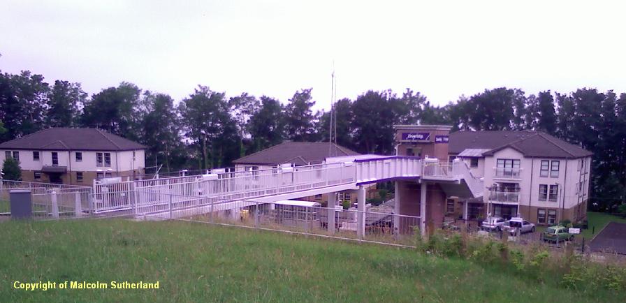
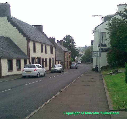
Pass the station and carry on down Station Avenue into the centre of Inverkip. Turn right at the junction and walk along Main Street (Photo 13) until you reach the path (on the left) leading to the great footbridge, and walk across the bridge over the A78 (Photo 14) (a dangerous road at the best of times). Walk down from the bridge until you can cross over the road from the marina (Photo 15), and walk the path alongside the A78 towards the car park.
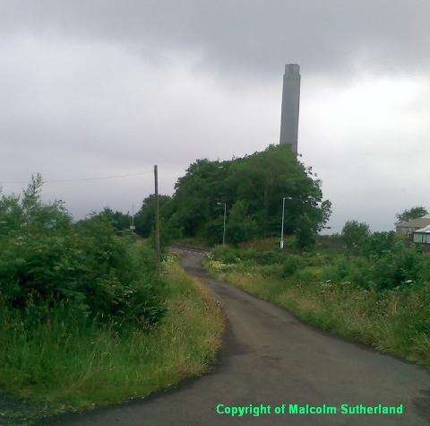
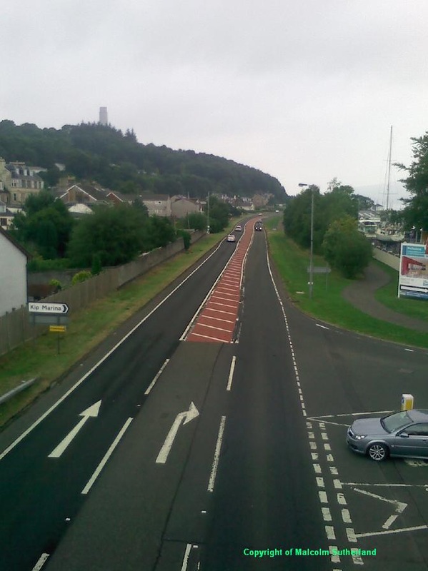
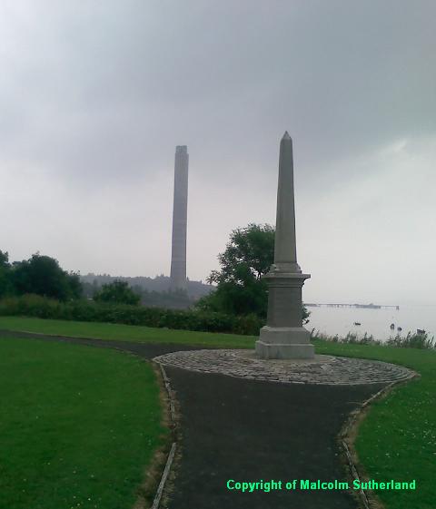
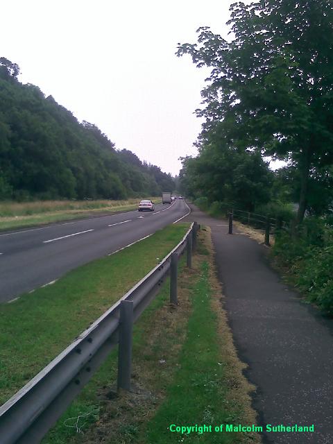
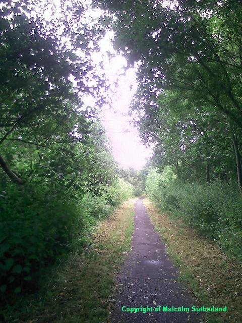
There is a small war memorial at the car park, to commemorate those from Inverkip who were killed in action in the world wars (Photo 16). The path then joins with the A78 as a pavement for about half a mile (Photo 17). The traffic can be very fast, and again, this is not a walk for minors. The path diverts slightly into the woodland near the old Inverkip Power Station site (Photo 18), and you'' reach the crossroads. Carry on over the road and follow the long pavement towards Wemyss Bay. Take the first turn on the right (Photo 19) into Wemyss Bay itself.
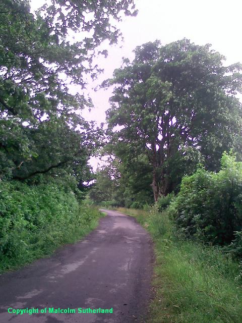
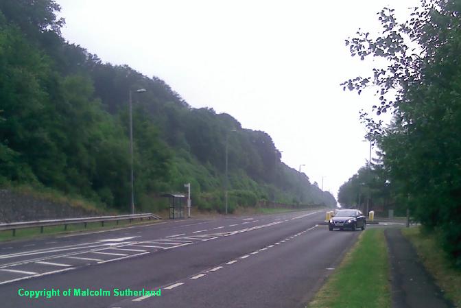
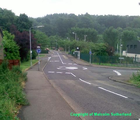
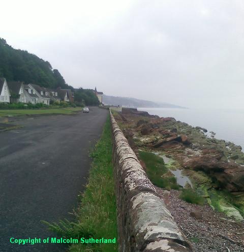
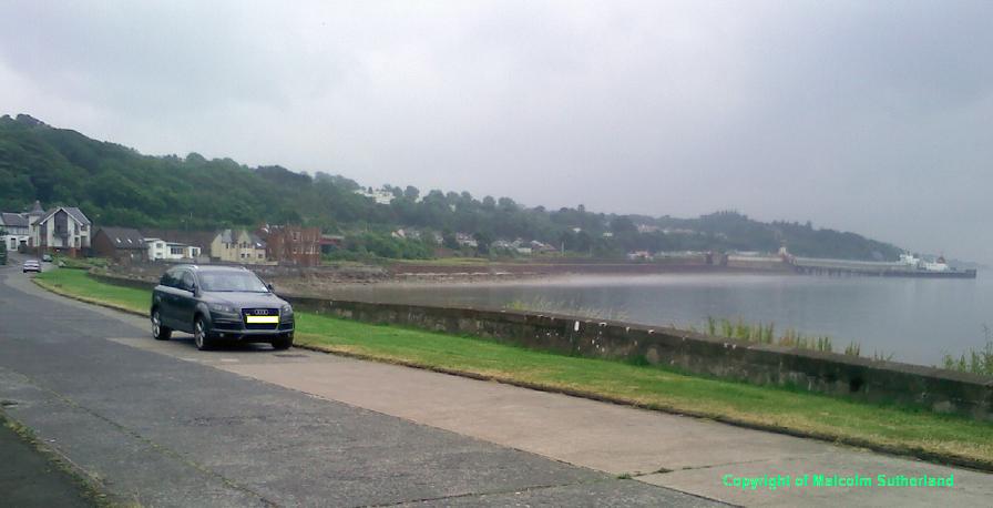
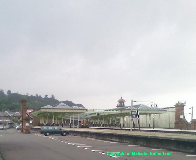
Follow the road past the local shopping centre, past the roundabouts (Photo 20), and towards the woods. The road then descends down to the beach (Photo 21), where it wriggles around the coastline, past some impressive Victorian houses (Photo 22), and along a small promenade (Photo 23) towards the railway bridge, and back to the A78. Walk along the pavement beside the A78 (Photo 24), under the railway bridge and towards Wemyss Bay station (Photo 25).
Walk south across the bridge over the Kelly Burn, and turn sharp left up the steep Station Road past the converted kirk (Photo 1). Carry on up the hill and take the second left road, and then right towards Montgomerie Drive. Walk along the road until you find the entrance to the woodland. The walk through the wood is very muddy in places, but after a couple of hundred yards, the old gravel road appears (Photo 2). Follow this towards the narrow footbridge over the Kelly Burn (Photo 3).
Climb up the short, rocky track between the bridge and the back road. Turn left and down the back road towards the caravan site. Keep following the tarmac road past the small leisure centre (Photo 4), which turns a sharp left and carries on for another couple of hundred yards until you reach a junction. Turn right and follow the tarmac road, which leaves the caravan site and past some fields with horses (Photo 5). The road then bends to the left and passes a barn, where there is a track to the right, which leads to the old back road.
Much of the old road is rough gravel and loose stones plus some large embedded rocks, and can be very slippery in the rain and in winter. The first part of the road is fenced (Photo 6), but the second section follows a line of trees (Photo 7). You reach a shallow plateau, beyond which is a gate, and the path then passes under a canopy of trees. The road heading downhill towards the upper Inverkip estate consists of loose rocks and must be trodden carefully (Photo 8). The road links with the back road leading east to the (recent) housing estate at the back of Inverkip (Photo 9).
Turn right and keep to the pavement as you walk along the road towards the houses. This road passes under FOUR sets of pylons, and is not suitable for minors; above all, do not walk along here during a thunderstorm (Photo 10). If and when you reach the top of the hill, take the first road left down what is now Lairds Dyke Road (Photo 11). This road meanders its way down a steep hill, and turns left and meanders some more before you reach the path leading to the recently completed footbridge over Inverkip railway station (Photo 12). (If this footbridge is closed, there is another one about half a mile east. A road leads off the right from Lairds Dyke Road, and there is a path to this older concrete footbridge. The old footbridge is steep and the narrow path further down the hill is slippery and covered with moss.)
Pass the station and carry on down Station Avenue into the centre of Inverkip. Turn right at the junction and walk along Main Street (Photo 13) until you reach the path (on the left) leading to the great footbridge, and walk across the bridge over the A78 (Photo 14) (a dangerous road at the best of times). Walk down from the bridge until you can cross over the road from the marina (Photo 15), and walk the path alongside the A78 towards the car park.
There is a small war memorial at the car park, to commemorate those from Inverkip who were killed in action in the world wars (Photo 16). The path then joins with the A78 as a pavement for about half a mile (Photo 17). The traffic can be very fast, and again, this is not a walk for minors. The path diverts slightly into the woodland near the old Inverkip Power Station site (Photo 18), and you'' reach the crossroads. Carry on over the road and follow the long pavement towards Wemyss Bay. Take the first turn on the right (Photo 19) into Wemyss Bay itself.
Follow the road past the local shopping centre, past the roundabouts (Photo 20), and towards the woods. The road then descends down to the beach (Photo 21), where it wriggles around the coastline, past some impressive Victorian houses (Photo 22), and along a small promenade (Photo 23) towards the railway bridge, and back to the A78. Walk along the pavement beside the A78 (Photo 24), under the railway bridge and towards Wemyss Bay station (Photo 25).

All text, maps and imagery are copyright of Dr Malcolm Sutherland (2013 - 14).
DISCLAIMER: visitors to this website must take all necessary precautions when travelling to the sites listed in this website and when walking. People viewing this website are entirely responsible for their own transportation, health and safety if they travel to relevant locations and attempt any of the walks listed on this website.
DISCLAIMER: visitors to this website must take all necessary precautions when travelling to the sites listed in this website and when walking. People viewing this website are entirely responsible for their own transportation, health and safety if they travel to relevant locations and attempt any of the walks listed on this website.
