walk 22 - the forth-clyde canal
This is another canal walk, and a more impressive one at that. The Forth-Clyde canal is one of Scotland's greatest industrial achievements, and this prescribed route only covers around a third of the distance. This journey will take at least 4 hours, and the walker should begin to appreciate just how much effort went into constructing this consistent channel, along with the bridges, locks and other elaborate architecture. This is another route that passes through remote countryside and dense urban districts, from an ancient market town several miles inland to the sea.
Exactly 2 centuries ago, Scotland's early industrial revolutionaries were captivated by a nationwide thirst for canal construction. Railways did not proliferate until the 1840s, and most early 19th Century 'roads' were dirt tracks. The Forth-Clyde canal was an exhaustive but necessary project, connecting the Clyde and Forth estuaries (with their multiplying industries). Despite rapid landuse changes and persistent industrial decline during the past century, the canal has survived, and in recent years it has received remedial attention and been restored. It is now possible to walk or cycle alongside the canal all the way from Bowling to Falkirk. For this website, the route extends as far as Kirkintilloch.
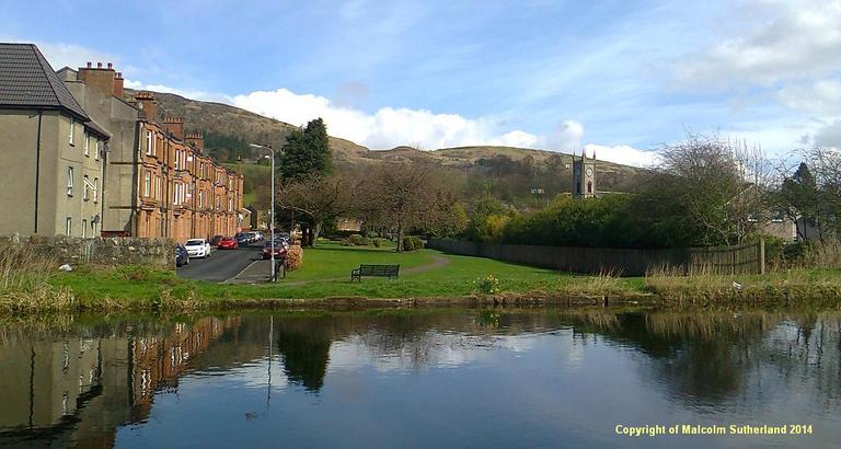
For this walk, the starting point is the town centre in Kirkintilloch. Bus travellers should alight at Lairdsland Road. Rail travellers shall
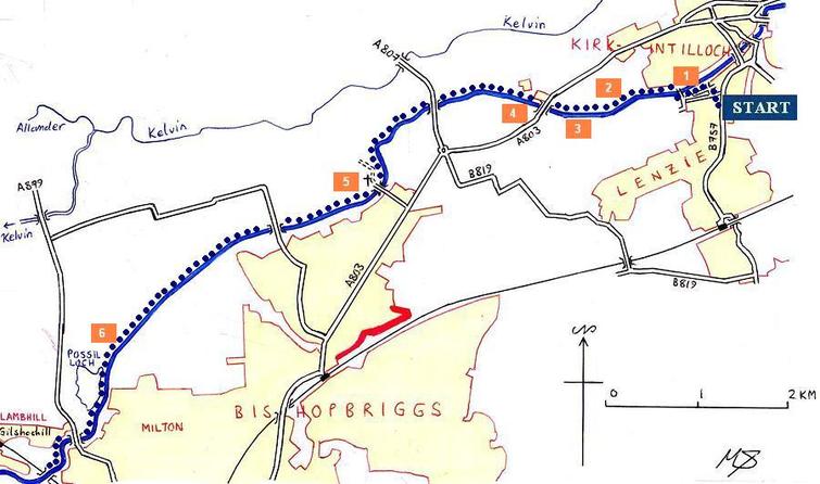
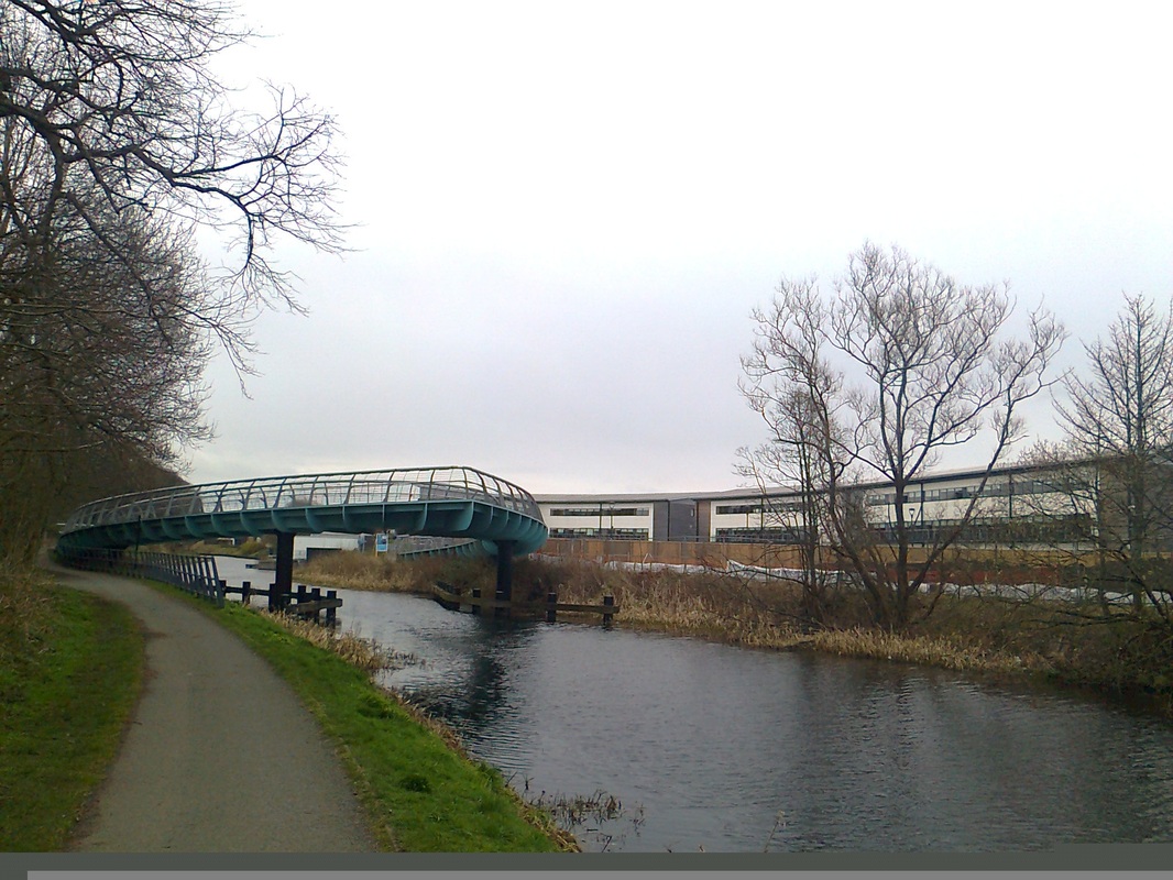
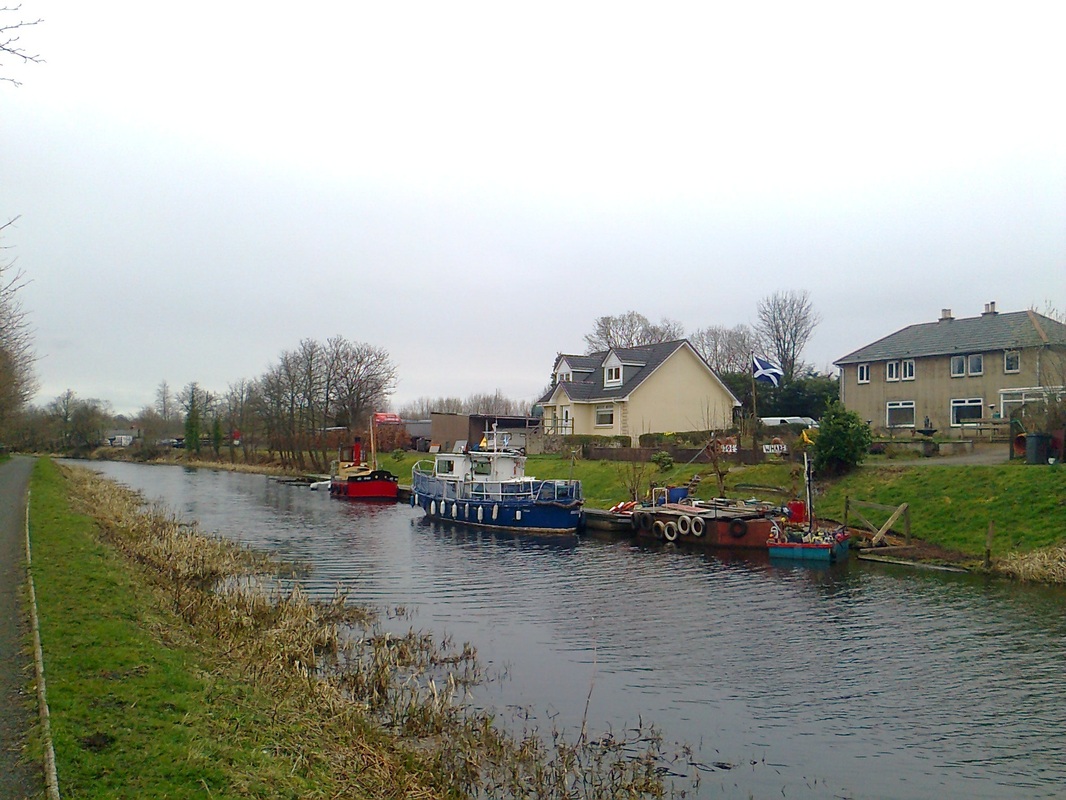
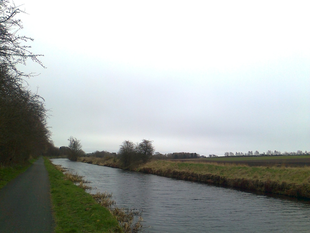
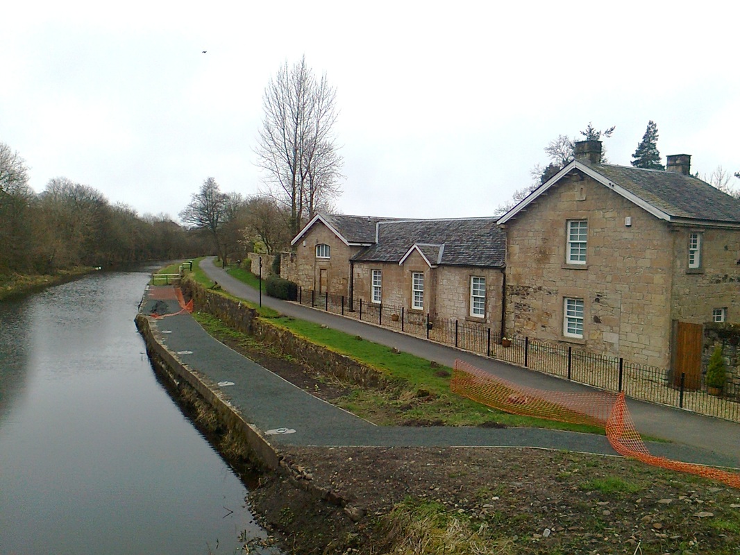
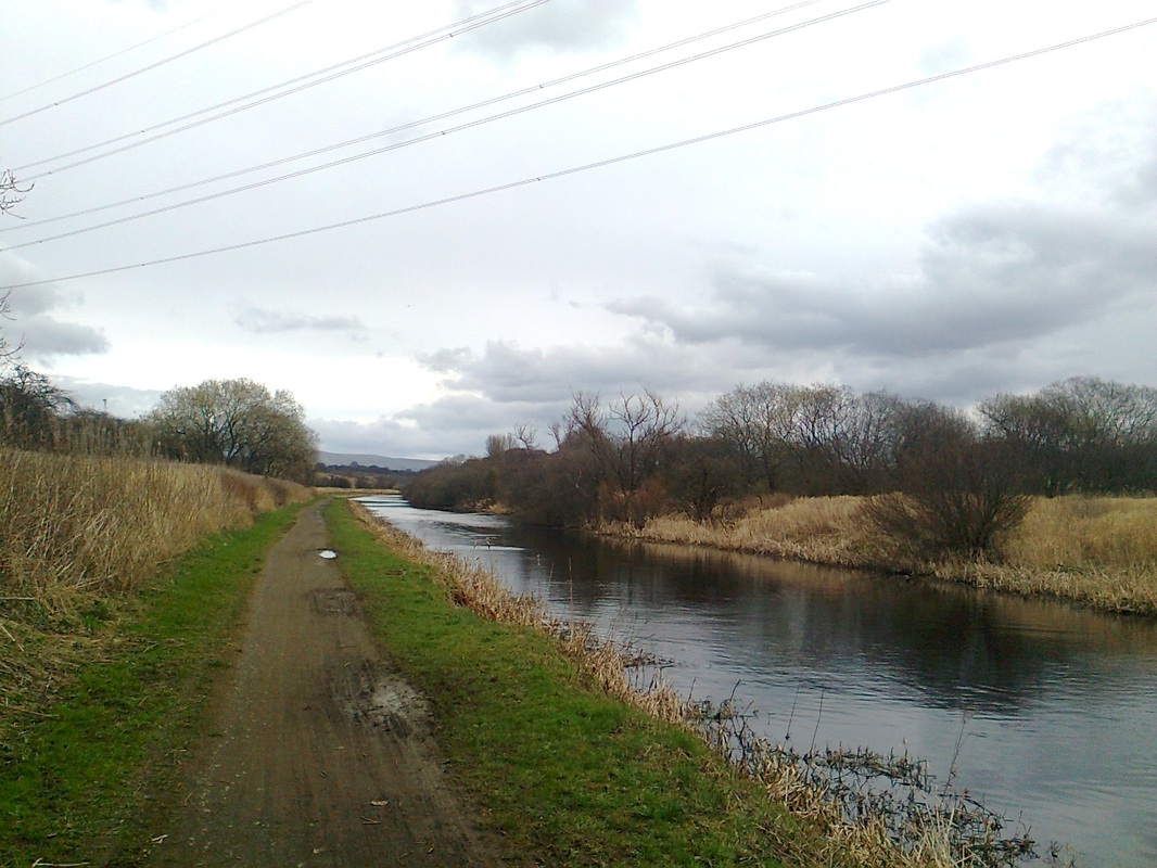
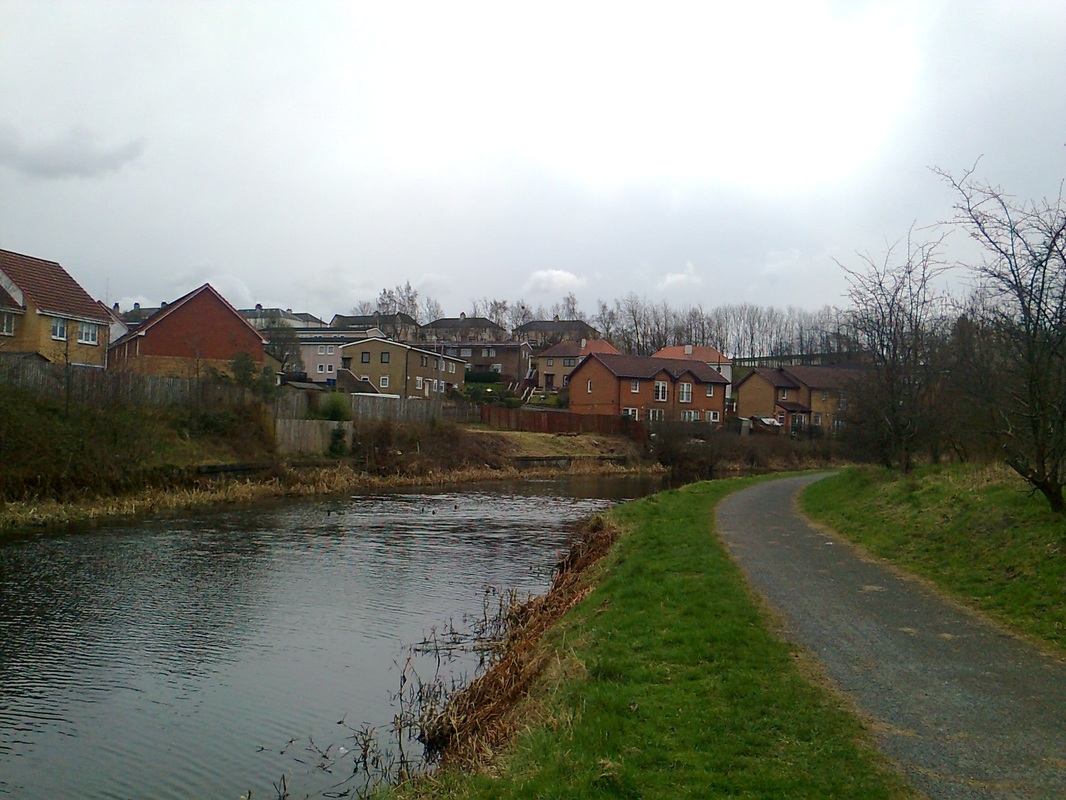
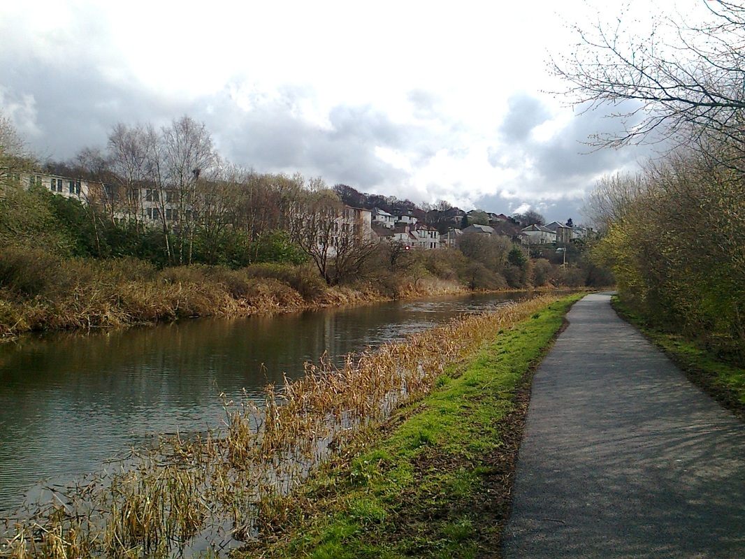
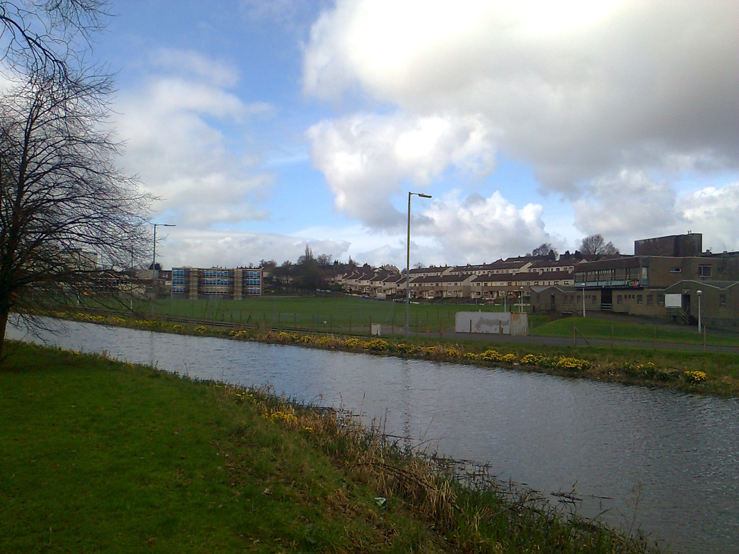
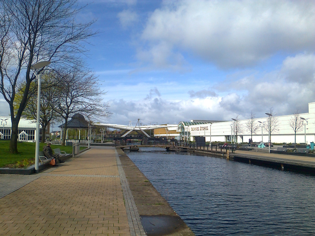
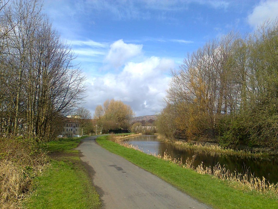
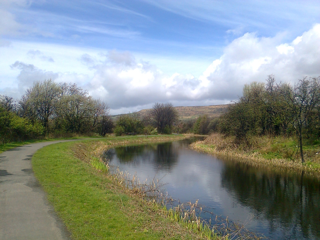
have to alight at Lenzie and walk the mile-long B757 road over the hill and into Kirkintilloch. The canal path is on the north side, and passes alongside the new Southbank business park (photo 1). The canal soon passes into open countryside, where there are intermittent cottages and canal barges (photo 2). Much of the canal walk between Kirkintilloch and Bishopbriggs is featureless (photo 3), but once you approach Cadder, the canal turns southward where there is some woodland. Cadder is a splended private estate on the far north periphery of Bishopbriggs, fronted by a kirk and a respectable-looking mill house (photo 4). The next couple of miles are featureless, with occasional glimpses into Bishopbriggs, followed by views of open moorland on the approach towards the Possil Loch nature reserve (photo 5). Beyond the loch, the first suburbs of Glasgow appear along the other side of the canal (photo 6).
For this walk, the starting point is the town centre in Kirkintilloch. Bus travellers should alight at Lairdsland Road. Rail travellers shall
have to alight at Lenzie and walk the mile-long B757 road over the hill and into Kirkintilloch. The canal path is on the north side, and passes alongside the new Southbank business park (photo 1). The canal soon passes into open countryside, where there are intermittent cottages and canal barges (photo 2). Much of the canal walk between Kirkintilloch and Bishopbriggs is featureless (photo 3), but once you approach Cadder, the canal turns southward where there is some woodland. Cadder is a splended private estate on the far north periphery of Bishopbriggs, fronted by a kirk and a respectable-looking mill house (photo 4). The next couple of miles are featureless, with occasional glimpses into Bishopbriggs, followed by views of open moorland on the approach towards the Possil Loch nature reserve (photo 5). Beyond the loch, the first suburbs of Glasgow appear along the other side of the canal (photo 6).
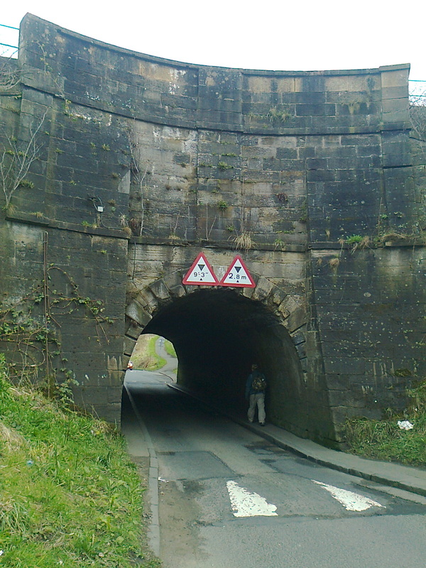
Once you enter the outskirts of Glasgow, the walk continues to be straight-forward. However, you will soon encounter the Stockingfield Junction, where the canal from Port Dundas joins the Forth-Clyde canal (photo 7). The walker must descend onto Lochburn Road and pass under the claustrophobic tunnel (watch out for traffic) (photo 7b), before climbing back up to the canal.
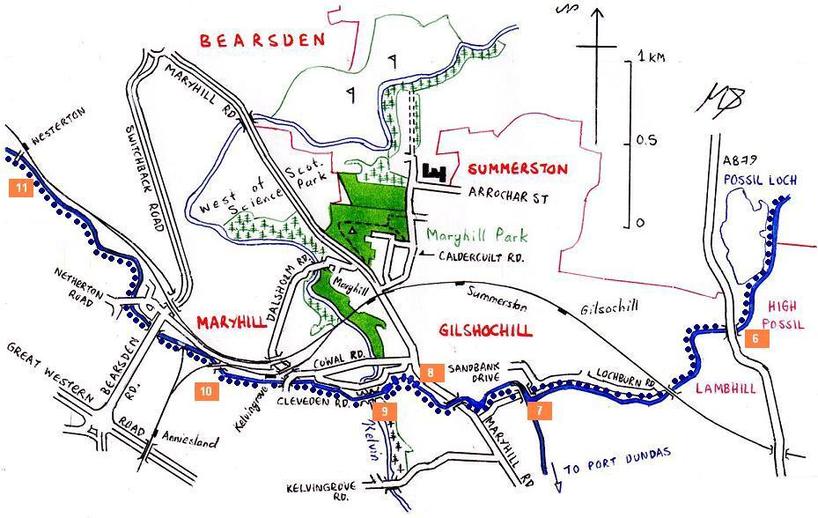
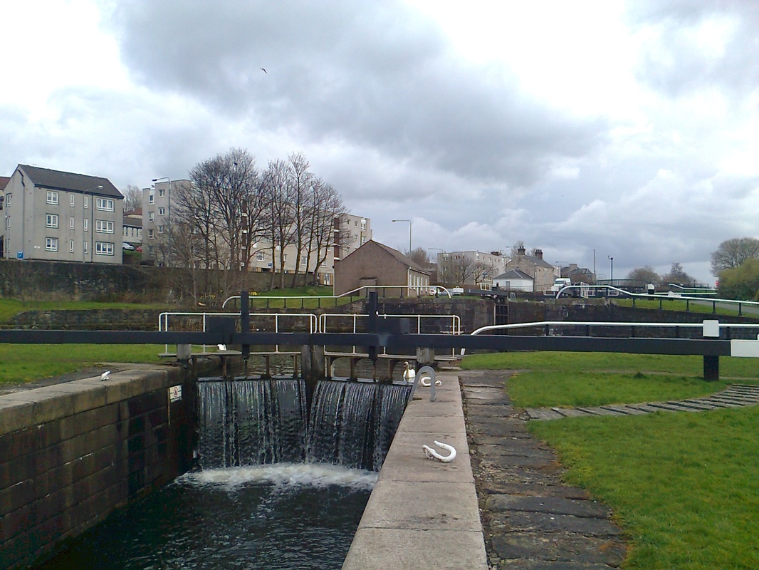
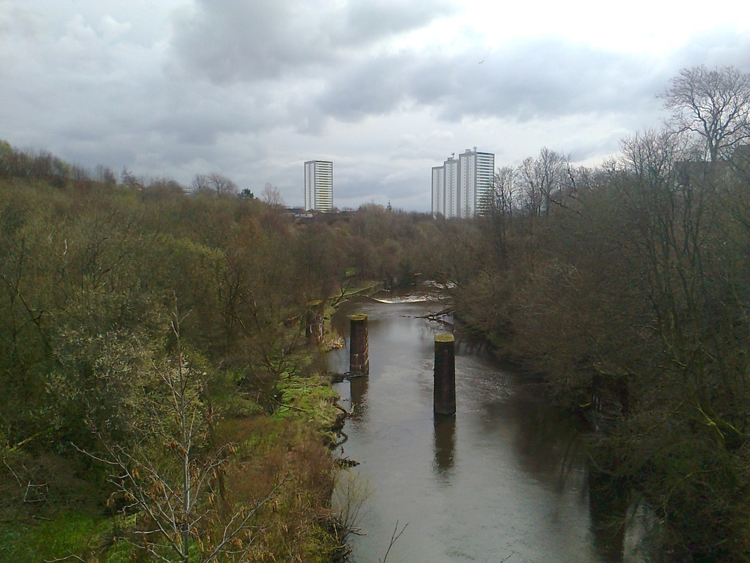
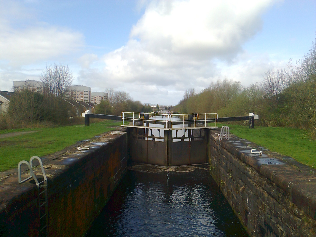
The next entertainment is only a few hundred yards further along. The famous canal bridge over the River Kelvin is announced by a cascade of canal locks (photo 8). The canal and the adjacent path are carried several tens of metres above the Kelvin, over which another (railway) bridge once crossed (photos 9, 9b).
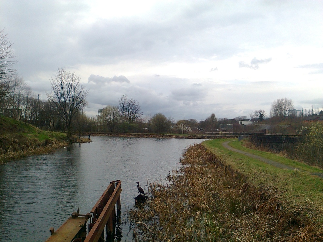
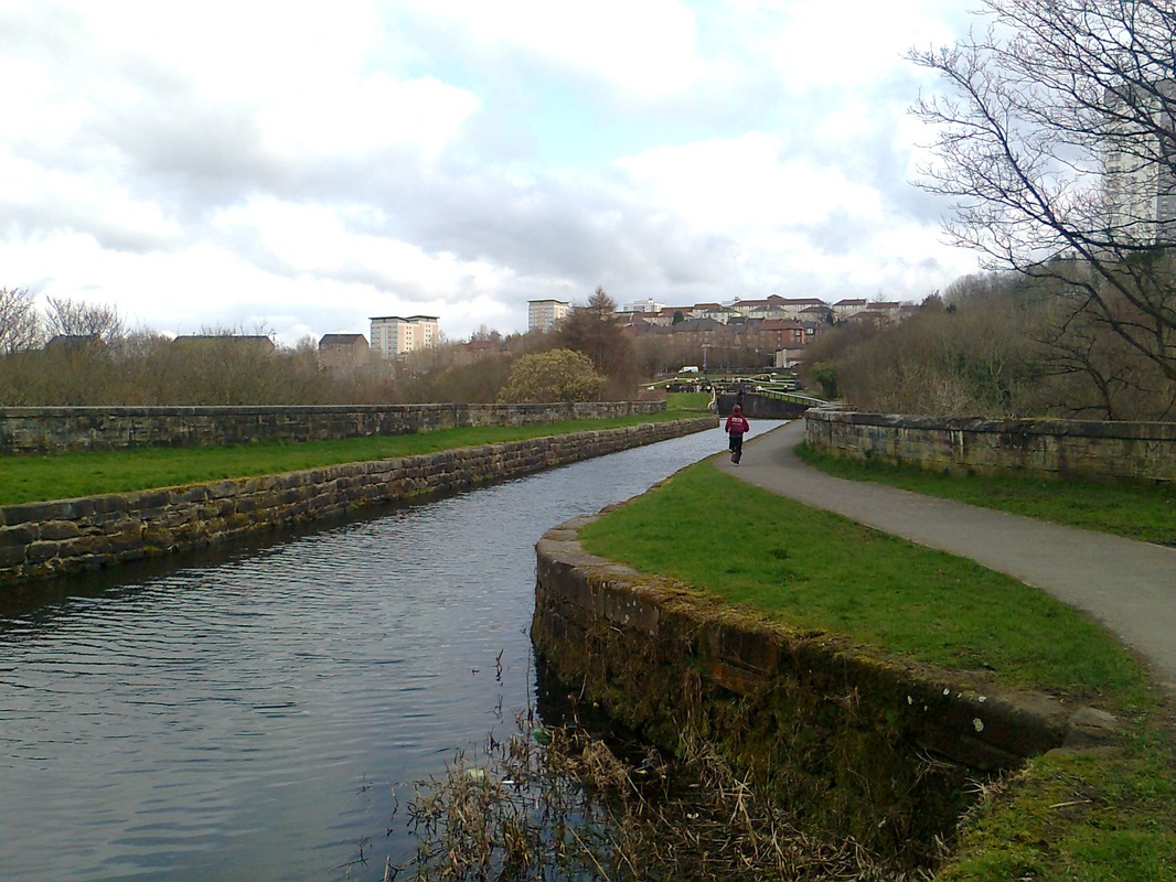
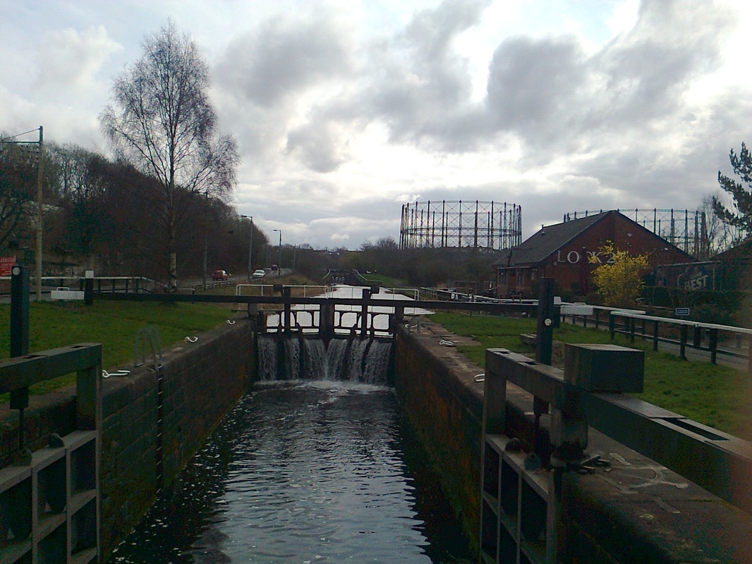
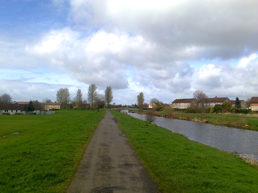
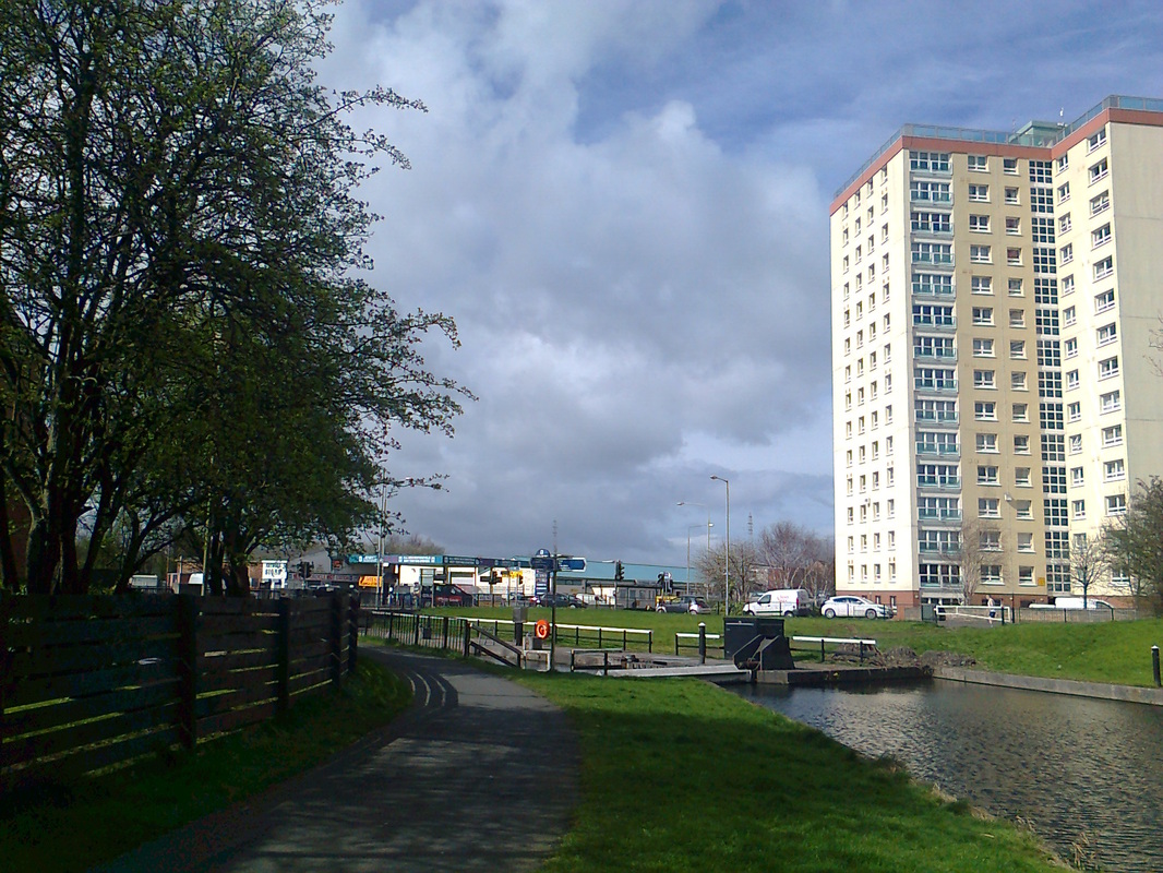
The path then passes through heavily urbanised teritory, past the gas works near Kelvindale (photo 10) where roads and railways criss-cross around the canal. The surroundings become gentler past Netherton Road and towards Westerton (photo 11). The next couple of miles are consistently suburban, and are not covered by Maps I or II - the walker simply carries on walking along the south side of the canal, passing through Drumchapel (photo 12), past the occasional canal lock (photo 13) and through a small park towards Clydebank (photo 14).
The next entertainment is only a few hundred yards further along. The famous canal bridge over the River Kelvin is announced by a cascade of canal locks (photo 8). The canal and the adjacent path are carried several tens of metres above the Kelvin, over which another (railway) bridge once crossed (photos 9, 9b).
The path then passes through heavily urbanised teritory, past the gas works near Kelvindale (photo 10) where roads and railways criss-cross around the canal. The surroundings become gentler past Netherton Road and towards Westerton (photo 11). The next couple of miles are consistently suburban, and are not covered by Maps I or II - the walker simply carries on walking along the south side of the canal, passing through Drumchapel (photo 12), past the occasional canal lock (photo 13) and through a small park towards Clydebank (photo 14).
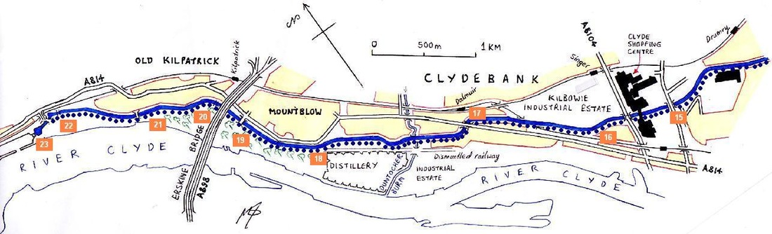
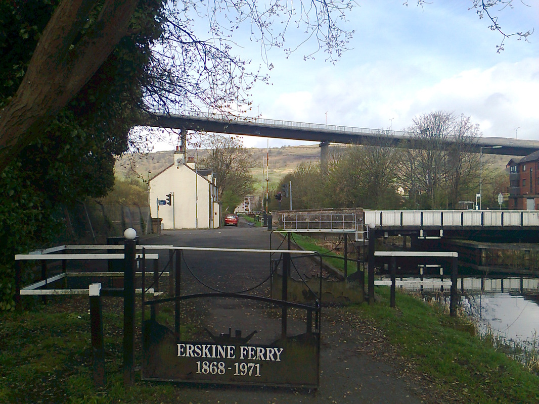
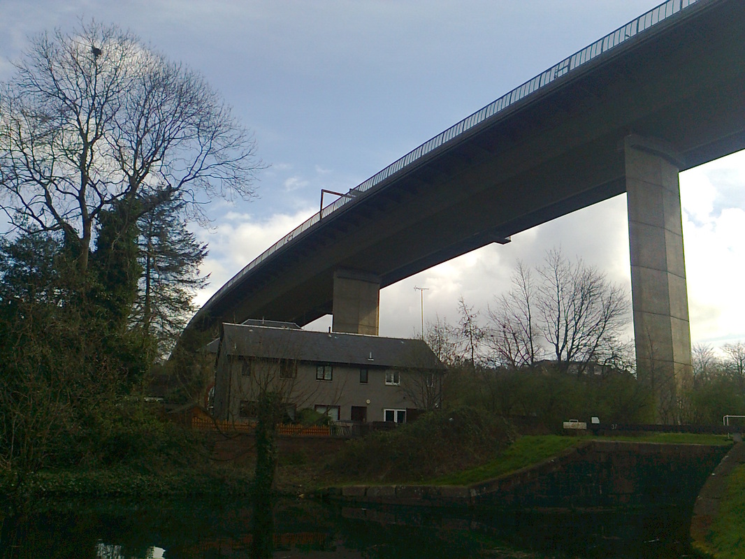
The landscape changes quite suddenly when you approach the Clyde Shopping Centre in Clydebank (photo 15), with the grassy suburbs being replaced briefly by clean cobbled walkways and retail precincts. Cross under the Kilbowie Road bridge and carry on along the canal, past the industrial estates of Singer. The wooded suburban terrain reappears briefly (photo 16), before you turn a corner and have to cross the very busy Dumbarton Road (photo 17). Beyond this dual carriageway, the landscape feels more rural, but is in fact heavily industrialised. The canal passes through woodland and meadow that conceal the warehouses and distilleries closer to the Clyde (photo 18). The Erskine Bridge is an approaching landmark along this mile, and you cross over the old Erskine Ferry road (photo 19) before passing under the giant concrete and metal hydra.
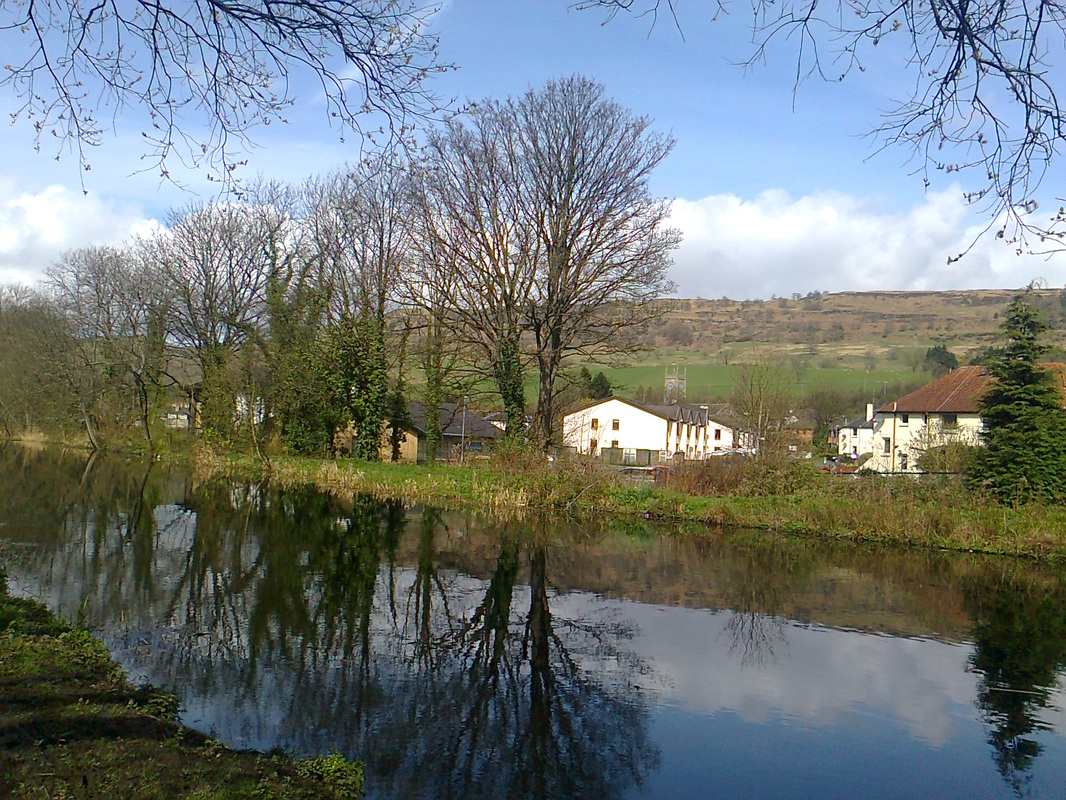
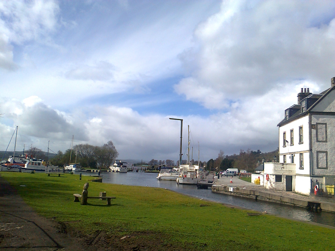
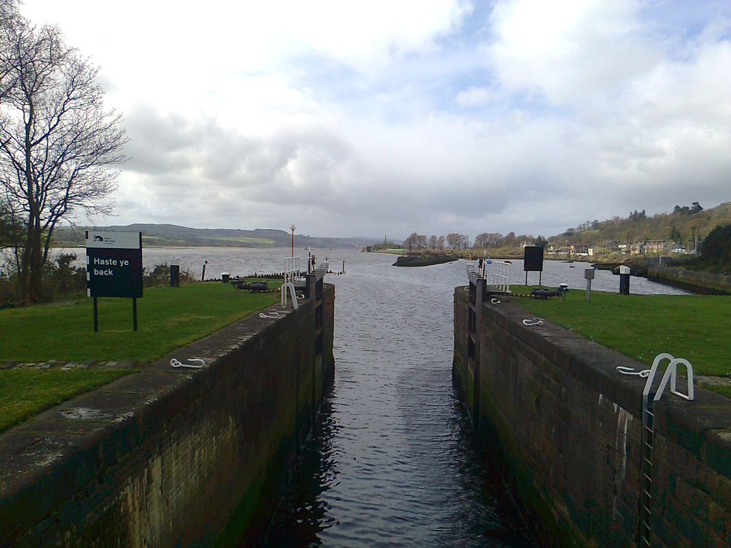
The last mile of canal runs parallel to the Clyde, coming within a few metres of the tidal river. The canal passes through Kilpatrick (photo 21, top photo), and finally departs from the Glasgow conurbation. There is a very brief walk through countryside, after which the canal passes under the railway bridge, and passes into a basin fronted by a pretty white-painted customs house. After one final lock, the canal meets the Clyde at Bowling harbour (photo 23). From here, pass under the railway bridge and follow the main road into Bowling.
The last mile of canal runs parallel to the Clyde, coming within a few metres of the tidal river. The canal passes through Kilpatrick (photo 21, top photo), and finally departs from the Glasgow conurbation. There is a very brief walk through countryside, after which the canal passes under the railway bridge, and passes into a basin fronted by a pretty white-painted customs house. After one final lock, the canal meets the Clyde at Bowling harbour (photo 23). From here, pass under the railway bridge and follow the main road into Bowling.
All text, maps and imagery are copyright of Dr Malcolm Sutherland (2013 - 14).
DISCLAIMER: visitors to this website must take all necessary precautions when travelling to the sites listed in this website and when walking. People viewing this website are entirely responsible for their own transportation, health and safety if they travel to relevant locations and attempt any of the walks listed on this website.
DISCLAIMER: visitors to this website must take all necessary precautions when travelling to the sites listed in this website and when walking. People viewing this website are entirely responsible for their own transportation, health and safety if they travel to relevant locations and attempt any of the walks listed on this website.
