WALK 3 - LARGS TO WEMYSS BAY
There are only two roads between Wemyss Bay and Largs, both of which are frail and prone to the elements. The A78 is the trunk road which twists alongside and buttresses the Firth of Clyde. The other route is a minor road running parallel to the A78, which rests above the cliff, and is very narrow and is essentially a farm road. The back road to Largs (or Wemyss Bay) is generally quiet and suitable for walkers (although it briefly joins the A78 near Meagle). It affords splended views across to Arran, Bute and Cumbrae, and links the two towns along with two castles (which are still occupied).
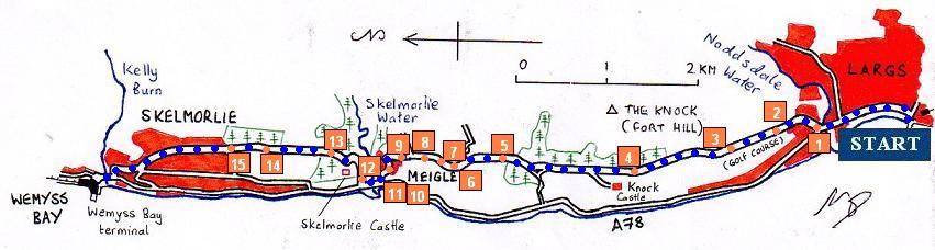
This guide is written for those who are walking from Largs to Wemyss Bay, and should be read in reverse for those who are walking in the other direction.
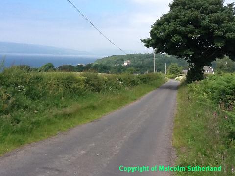
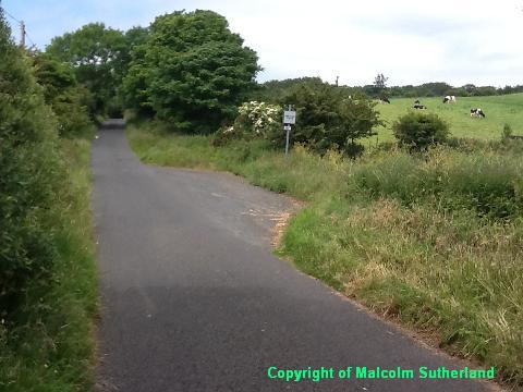
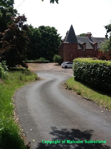
Walk from the Largs train station or bus stop along Greenock Road, towards the bridge over the Noddsdale Burn, where on the right is a turn-off (Routenburn Road) leading towards the golf course (Photo 1). The back road starts here, and starts up a long and relentlessly steep hill. The pavement ends around 100m up the hill, so be wary of traffic from then onwards.
The road climbs the hill past the golf course, with an impressive view of Largs opening up (Photo 2). The hill becomes gentler as you walk past a farmhouse and into a narrow line of trees alongside the north end of the golf course (Photo 3). The road bends slightly to the right as you approach the top of the hill (nor far from the Fort Hill).
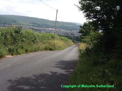
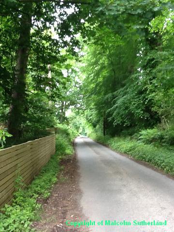
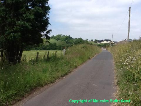
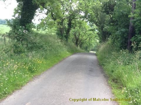
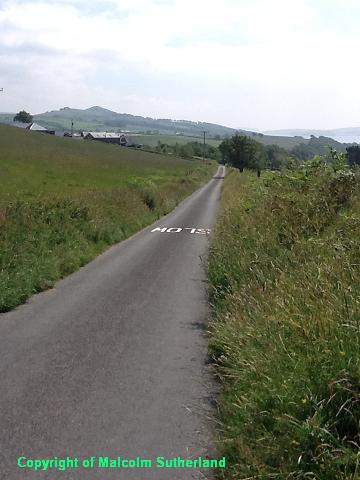
From the end of the golf course, there follows a gentle downhill walk through woodland (Photo 4)and past the Knock Castle estate. After around a mile you should reach a junction, with a narrow road on the left linking to the A78, and a bridge over a small stream. Carry straight on and up a moderate hill out of the woodland and past some cottages (Photo 5). The next hill is steep in places (Photo 6), and there are no significant features or places of interest until you reach the top of the hill above Meigle (Photos 7, 8).
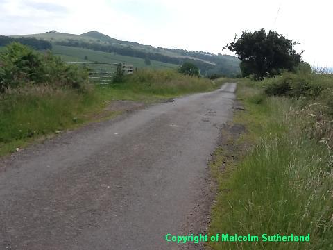
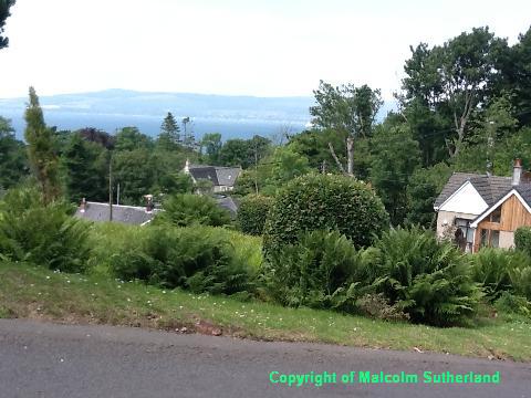
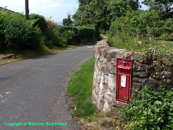
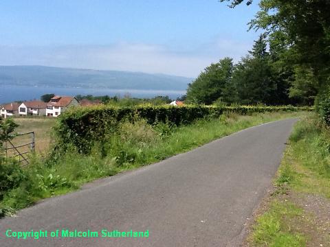
The descent into Meigle is very steep, and walkers should be wary of local traffic (especially farm vehicles which pass fairly regularly up and down this hill) (Photo 9). The hamlet of Meigle itself is one of the most picturesque of Ayrshire hamlets (Photo 10), and hosts a very rare Victorian letter box (Photo 11).
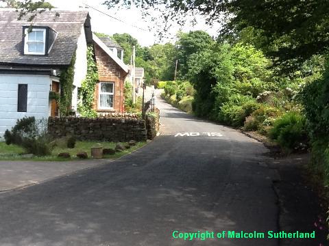
The road emerges from Meigle onto the A78. Sadly, walkers have no choice but to walk on the A78 for about 100m. There is a narrow pavement on the shore-side, but crossing the A78 is not recommended. Perhaps the safest option is to tread very close to the wall on the inland side of the road, watching the traffic at all times.
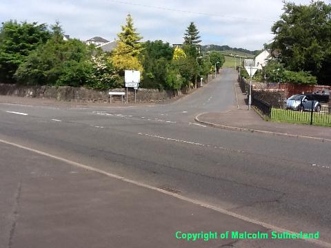
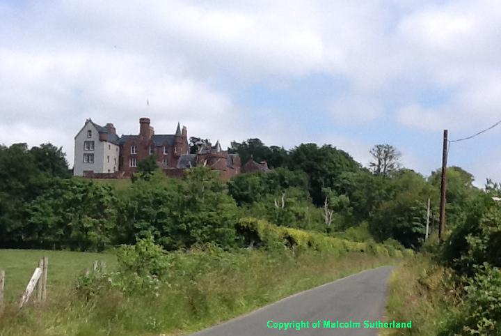
The back road re-appears at the next turn-off on the right, with a view towards Skelmorlie Castle (Photo 12). The road crosses the flat for about 100m, then up a very steep hill up around and past the castle grounds (Photo 13). The road continues up a fairly steep hill for another half-mile (Photo 14) towards a caravan park, reaching a summit just outside Skelmorlie itself (Photo 15).
Carry on along the Skelmorlie Castle road through Skelmorlie, past the village centre and then down the hill towards and then down Station Road, and into Wemyss Bay.
Walk from the Largs train station or bus stop along Greenock Road, towards the bridge over the Noddsdale Burn, where on the right is a turn-off (Routenburn Road) leading towards the golf course (Photo 1). The back road starts here, and starts up a long and relentlessly steep hill. The pavement ends around 100m up the hill, so be wary of traffic from then onwards.
The road climbs the hill past the golf course, with an impressive view of Largs opening up (Photo 2). The hill becomes gentler as you walk past a farmhouse and into a narrow line of trees alongside the north end of the golf course (Photo 3). The road bends slightly to the right as you approach the top of the hill (nor far from the Fort Hill).
From the end of the golf course, there follows a gentle downhill walk through woodland (Photo 4)and past the Knock Castle estate. After around a mile you should reach a junction, with a narrow road on the left linking to the A78, and a bridge over a small stream. Carry straight on and up a moderate hill out of the woodland and past some cottages (Photo 5). The next hill is steep in places (Photo 6), and there are no significant features or places of interest until you reach the top of the hill above Meigle (Photos 7, 8).
The descent into Meigle is very steep, and walkers should be wary of local traffic (especially farm vehicles which pass fairly regularly up and down this hill) (Photo 9). The hamlet of Meigle itself is one of the most picturesque of Ayrshire hamlets (Photo 10), and hosts a very rare Victorian letter box (Photo 11).
The road emerges from Meigle onto the A78. Sadly, walkers have no choice but to walk on the A78 for about 100m. There is a narrow pavement on the shore-side, but crossing the A78 is not recommended. Perhaps the safest option is to tread very close to the wall on the inland side of the road, watching the traffic at all times.
The back road re-appears at the next turn-off on the right, with a view towards Skelmorlie Castle (Photo 12). The road crosses the flat for about 100m, then up a very steep hill up around and past the castle grounds (Photo 13). The road continues up a fairly steep hill for another half-mile (Photo 14) towards a caravan park, reaching a summit just outside Skelmorlie itself (Photo 15).
Carry on along the Skelmorlie Castle road through Skelmorlie, past the village centre and then down the hill towards and then down Station Road, and into Wemyss Bay.

All text, maps and imagery are copyright of Dr Malcolm Sutherland (2013 - 14).
DISCLAIMER: visitors to this website must take all necessary precautions when travelling to the sites listed in this website and when walking. People viewing this website are entirely responsible for their own transportation, health and safety if they travel to relevant locations and attempt any of the walks listed on this website.
DISCLAIMER: visitors to this website must take all necessary precautions when travelling to the sites listed in this website and when walking. People viewing this website are entirely responsible for their own transportation, health and safety if they travel to relevant locations and attempt any of the walks listed on this website.
