WALK 7 - SKELMORLIE CIRCUIT
Ayrshire boasts some fine town walks as well as ones out in the wilderness. This walk around the ancient settlement and modern village of Skelmorlie is far from a nice casual stroll in the park. This includes some of the steepest residential roads, a spectacular coastal vista, some woodland and (if the weather is reasonable) a walk past a genuine castle which is still inhabited. This walk can either follow the long and narrow road past the castle (the "outer" circuit), or (in bad weather) the steep Annetsyard Road and Eglinton Terrace roads above the cliffedge.
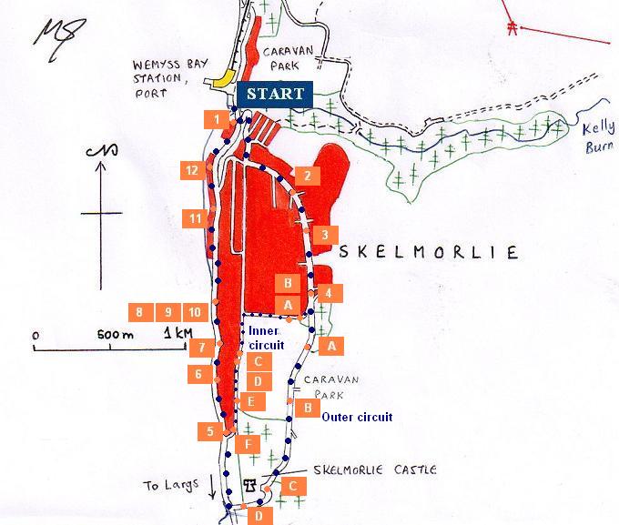
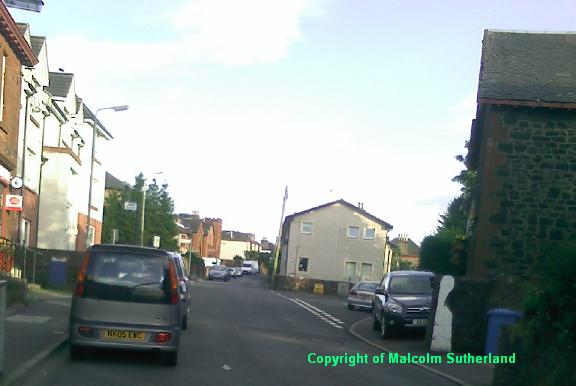
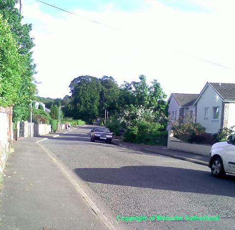
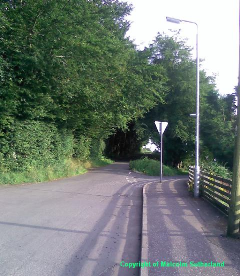
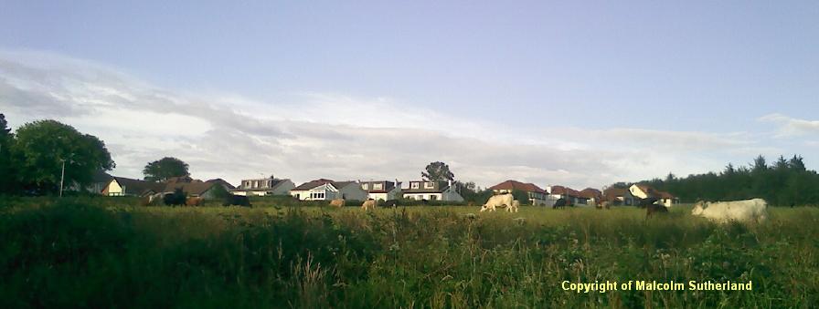
As with many other walks in this series, the circuit walk begins at the foot of Station Road (Photo 1). Climb up the steep and twisting road until you reach the junction. Turn left and walk up the fairly steep Skelmorlie Castle Road into the small village centre of Upper Skelmorlie (Photo 2), and carry on up the hill and through the rest of the housing estate (Photo 3). Just past the road leading to the golf course, there is a narrow forked junction, with one road splitting off slightly to the right (Photo 4), this being the Inner circuit route; the high road to the left is the Outer Circuit route.
INNER CIRCUIT
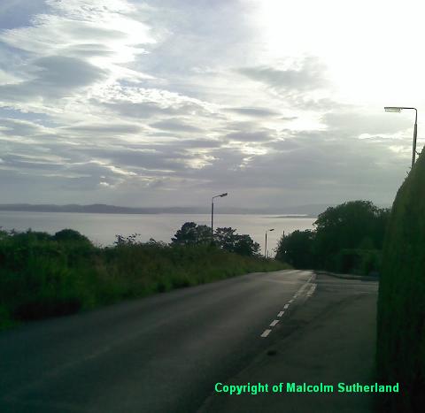
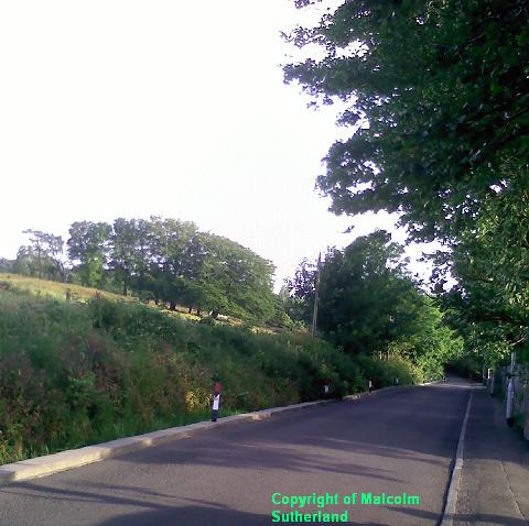
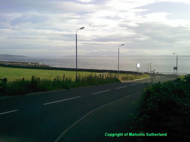
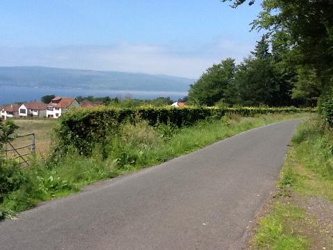
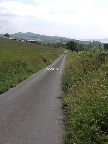
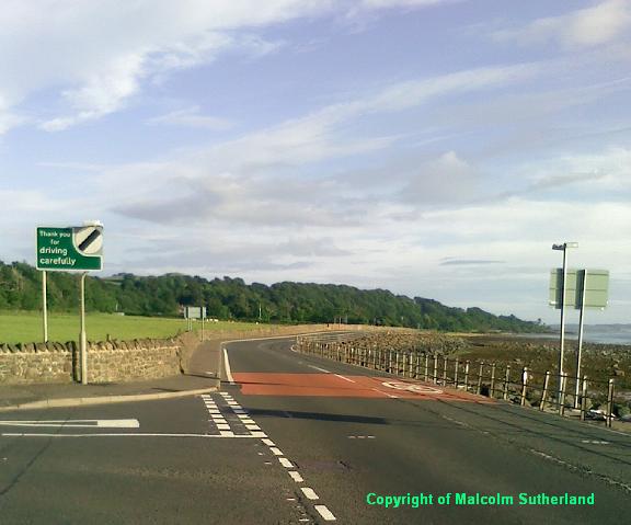
Carry on down the initially gradual slope of Annetyard Road. This road then turns west, and follows down a much steeper hill (Photo B), past some fields to the south with commanding views towards Arran (Photo A). The road ends at a sharp junction, meeting the Eglinton Terrace road. Turn left and walk along and down the hill (Photo C). The Eglinton Terrace road is situated on top of the Skelmorlie Cliffs, and you'll pass some of the steepest gardens and driveways in Scotland (Photo D). The road then gradually makes its way down the cliffline (Photo E), and finishes on the coastline, meeting the A78 road at the southern end of Skelmorlie (Photo F).
Carry on down the initially gradual slope of Annetyard Road. This road then turns west, and follows down a much steeper hill (Photo B), past some fields to the south with commanding views towards Arran (Photo A). The road ends at a sharp junction, meeting the Eglinton Terrace road. Turn left and walk along and down the hill (Photo C). The Eglinton Terrace road is situated on top of the Skelmorlie Cliffs, and you'll pass some of the steepest gardens and driveways in Scotland (Photo D). The road then gradually makes its way down the cliffline (Photo E), and finishes on the coastline, meeting the A78 road at the southern end of Skelmorlie (Photo F).
OUTER CIRCUIT
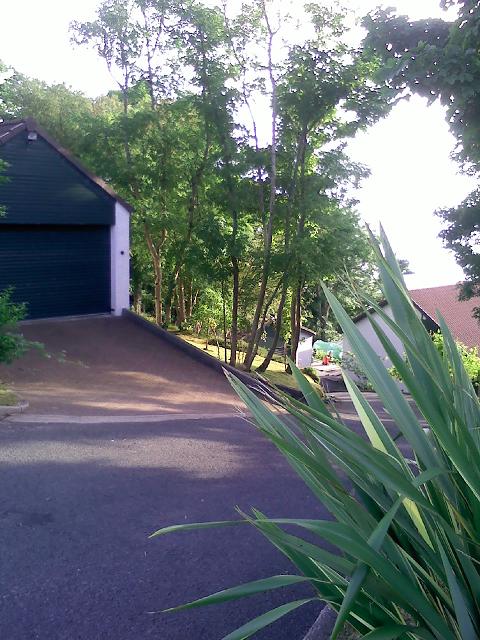
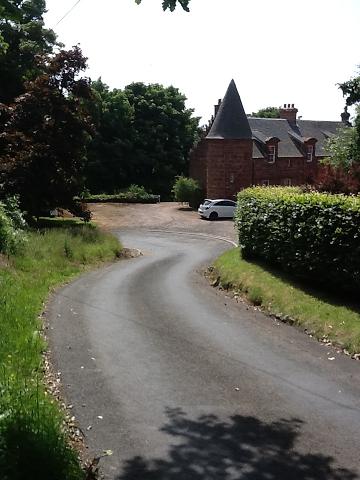
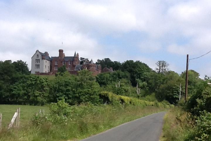
This road exits Skelmorlie high up the hill, passes through a short woodland (Photo A), passes a caravan park, and then descends down the long, steep hill (Photo B), past Skelmorlie Castle (Photos C and D), and meets the A78 next to the shore, about half a km south of Skelmorlie. There are no pavements, and walkers should be wary of tourist traffic to the caravan park, as well as farm vehicles.
This road exits Skelmorlie high up the hill, passes through a short woodland (Photo A), passes a caravan park, and then descends down the long, steep hill (Photo B), past Skelmorlie Castle (Photos C and D), and meets the A78 next to the shore, about half a km south of Skelmorlie. There are no pavements, and walkers should be wary of tourist traffic to the caravan park, as well as farm vehicles.
ALONG THE SHORELINE
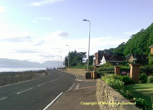
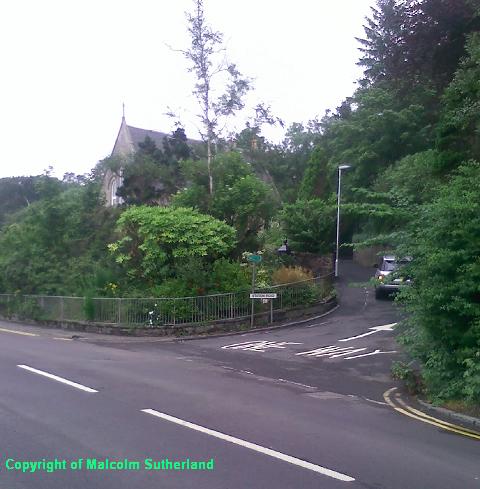
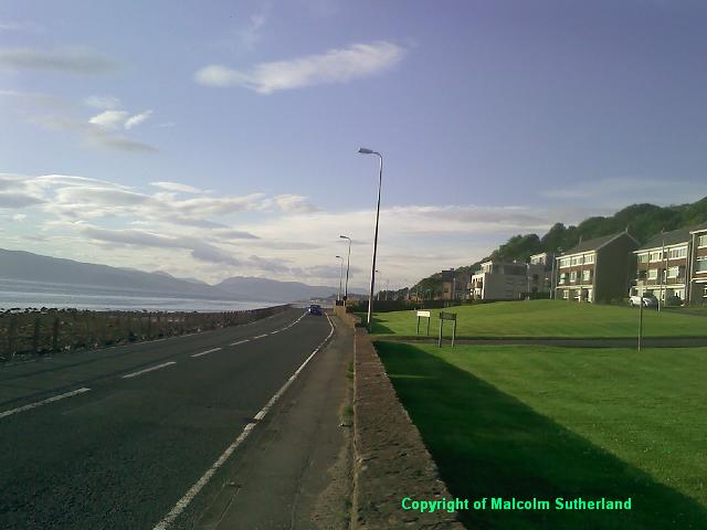
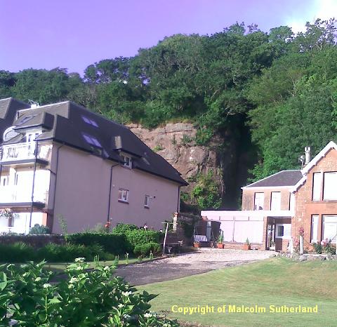
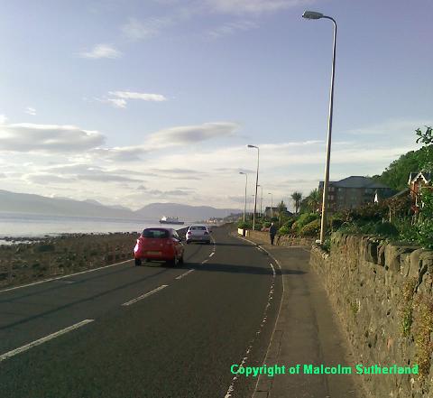
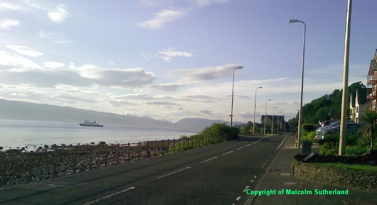
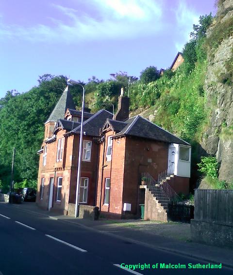
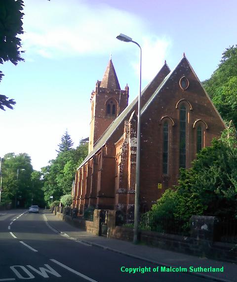
Both routes meet at the foot of Eglinton Terrace (Inner Circuit Photo F). Turn north and follow the A78 past the many retirement and other private flats facing the sea (Photos 6, 8 to 10). There are some interesting features along the way. Not far from the southern tip of Skelmorlie, there is a large cavernous cutting into the cliff; this was once the site of an elevator to a long-demolished hotel back in Edwardian times (Photo 7). Near Longhill Road is a Edwardian red sandstone house, placed precariously beneath the cliff, which is probably uninsured! (Photo 11) Near the end of the circuit (about a half-mile from Wemyss Bay station) is an impressive Victorian kirk (Photo 12).
Both routes meet at the foot of Eglinton Terrace (Inner Circuit Photo F). Turn north and follow the A78 past the many retirement and other private flats facing the sea (Photos 6, 8 to 10). There are some interesting features along the way. Not far from the southern tip of Skelmorlie, there is a large cavernous cutting into the cliff; this was once the site of an elevator to a long-demolished hotel back in Edwardian times (Photo 7). Near Longhill Road is a Edwardian red sandstone house, placed precariously beneath the cliff, which is probably uninsured! (Photo 11) Near the end of the circuit (about a half-mile from Wemyss Bay station) is an impressive Victorian kirk (Photo 12).

All text, maps and imagery are copyright of Dr Malcolm Sutherland (2013 - 14).
DISCLAIMER: visitors to this website must take all necessary precautions when travelling to the sites listed in this website and when walking. People viewing this website are entirely responsible for their own transportation, health and safety if they travel to relevant locations and attempt any of the walks listed on this website.
DISCLAIMER: visitors to this website must take all necessary precautions when travelling to the sites listed in this website and when walking. People viewing this website are entirely responsible for their own transportation, health and safety if they travel to relevant locations and attempt any of the walks listed on this website.
