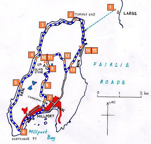
WALK 4 - CUMBRAE
Of all the walks alongside and near the Firth of Clyde, this walk is by far the most central. The small island of Cumbrae is a hub for tourists, just half a mile across the water from Largs, located in the centre of the firth. This walk avoids the often congested road between the ferry terminal and Millport. This route follows the much quieter B896 road around the north and west coastlines, and into Millport, before turning inland and uphill to the summit of the Glaidstone. Views across to Bute, Cowal and the Ayrshire mainland are almost unsurpassed.
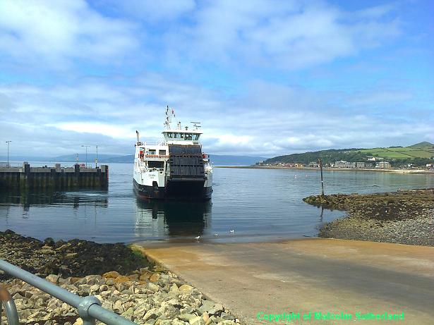
Cumbrae can only be accessed by ferry (Photo 1), and walkers are certainly advised against taking the car onto the ferry. The crossing takes less than 10 minutes, and during the summer there are sailings every 15 minutes during the summer months (and a couple of crossings per hour in winter during the day).
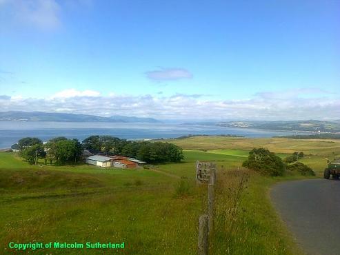
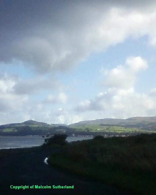
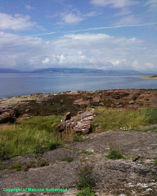
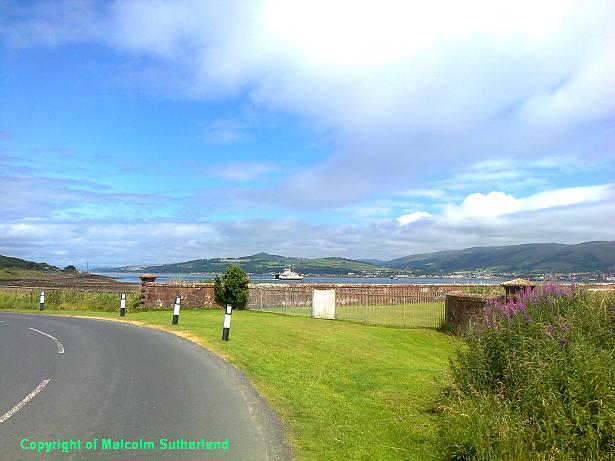
Upon arrival on shore, turn right and follow the road north and around the north coastline, past the monument, and past Tormont End (Photo 2). There are few distinguishing buildings or features along this road, but the views of Largs (Photo 3) and across the firth to Bute and Cowal (Photo 4) are more than a compensation. (There are no hamlets or villages on Cumbrae apart from Millport.)
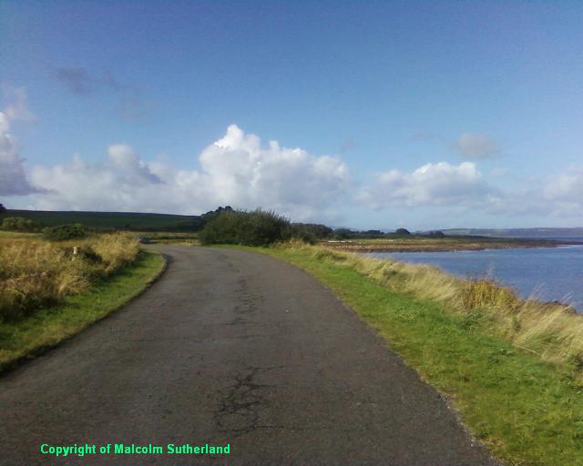
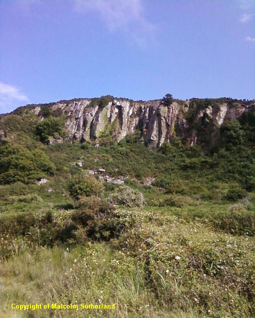
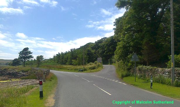
The road soon bends and meanders its way to the south, and the view east to Largs is soon replaced with views of the south end of Bute. There is a small cafe halfway along the road down the west coast of Cumbrae, and a minor cliff-face (Photo 5), but nothing else. Again, the views across the firth are the main attraction. After about 4 miles, the road turns southeast, then round a sharp bend and into Millport (Photo 6).
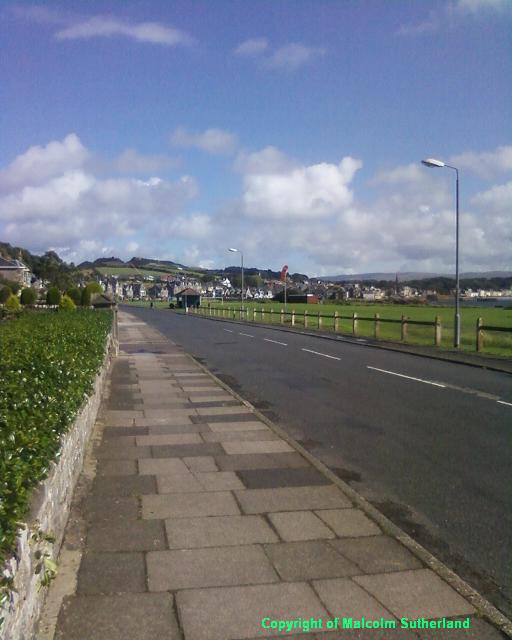
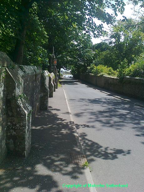
Keep following the road into Millport (West Bay Road) until you reach Cardiff Street, a very short one leading right and down to the small harbour. Walk along the promenade until you pass The Garrison, and reach College Street on your left. Turn up College Street and walk past the Episcopal Cathedral (Photo 7).
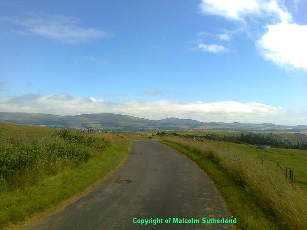
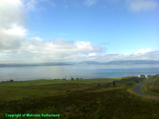
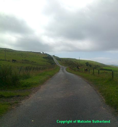
Walk along the road, and turn left at the Kames Street junction (this is about 200m out of Millport). The narrow road on the left bends and twists its way up the hill, although there is a straight section (Photo 8). The road bends as you approach the summit (Photo 9). The Glaidstone is hard to miss, with a trig point on the left (west side) of the road, and - of course - a nearby mobile phone mast. The views, especially to the north, are exceptional on a good day (Photos 10, 11).
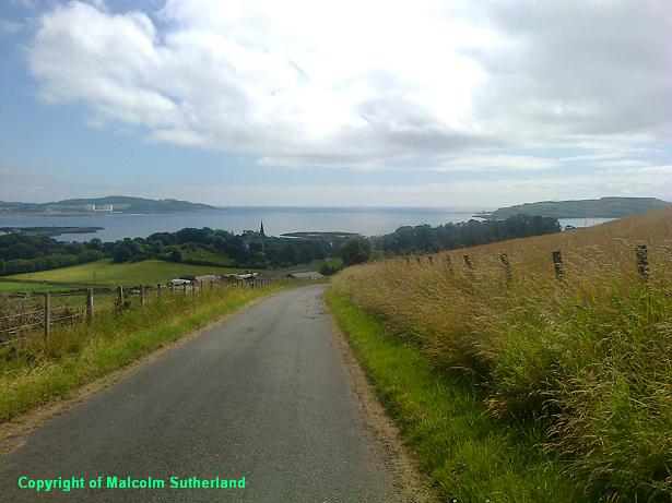
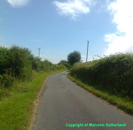
The road then twists and wriggles its way down the hill, and slowly turns southward again, past fields and not much else besides (Photo 12). After a while, you should reach a junction: turn sharp left and head northward towards the ferry terminal, down a more gentle hill (Photo 13). At the shore, this road meets the main road (Photo 15), where there is a small embankment (Photo 14) beside some houses and an outdoor activities centre. Walk the last few hundred yards to the ferry terminal (watch out for buses and the ferry traffic).
Upon arrival on shore, turn right and follow the road north and around the north coastline, past the monument, and past Tormont End (Photo 2). There are few distinguishing buildings or features along this road, but the views of Largs (Photo 3) and across the firth to Bute and Cowal (Photo 4) are more than a compensation. (There are no hamlets or villages on Cumbrae apart from Millport.)
The road soon bends and meanders its way to the south, and the view east to Largs is soon replaced with views of the south end of Bute. There is a small cafe halfway along the road down the west coast of Cumbrae, and a minor cliff-face (Photo 5), but nothing else. Again, the views across the firth are the main attraction. After about 4 miles, the road turns southeast, then round a sharp bend and into Millport (Photo 6).
Keep following the road into Millport (West Bay Road) until you reach Cardiff Street, a very short one leading right and down to the small harbour. Walk along the promenade until you pass The Garrison, and reach College Street on your left. Turn up College Street and walk past the Episcopal Cathedral (Photo 7).
Walk along the road, and turn left at the Kames Street junction (this is about 200m out of Millport). The narrow road on the left bends and twists its way up the hill, although there is a straight section (Photo 8). The road bends as you approach the summit (Photo 9). The Glaidstone is hard to miss, with a trig point on the left (west side) of the road, and - of course - a nearby mobile phone mast. The views, especially to the north, are exceptional on a good day (Photos 10, 11).
The road then twists and wriggles its way down the hill, and slowly turns southward again, past fields and not much else besides (Photo 12). After a while, you should reach a junction: turn sharp left and head northward towards the ferry terminal, down a more gentle hill (Photo 13). At the shore, this road meets the main road (Photo 15), where there is a small embankment (Photo 14) beside some houses and an outdoor activities centre. Walk the last few hundred yards to the ferry terminal (watch out for buses and the ferry traffic).

All text, maps and imagery are copyright of Dr Malcolm Sutherland (2013 - 14).
DISCLAIMER: visitors to this website must take all necessary precautions when travelling to the sites listed in this website and when walking. People viewing this website are entirely responsible for their own transportation, health and safety if they travel to relevant locations and attempt any of the walks listed on this website.
DISCLAIMER: visitors to this website must take all necessary precautions when travelling to the sites listed in this website and when walking. People viewing this website are entirely responsible for their own transportation, health and safety if they travel to relevant locations and attempt any of the walks listed on this website.
