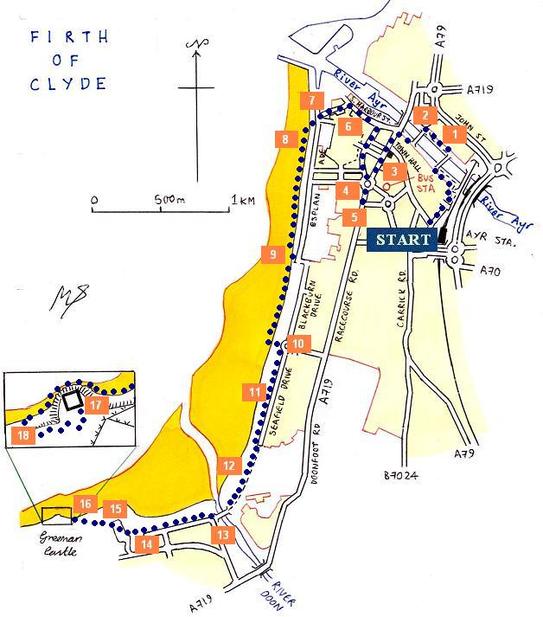
walk 27 - ayr beach
Of all the settlements around and near the Firth of Clyde, Ayr is one of the most affluent and also one of the most ancient. As with many other routes on this website, this walk passes through a wide mixture of landscapes. This walk follows a gradual trajectory from the densely packed town centre, and follows the beach and pavillion, before crossing over the River Doon and finishing at the almost inaccessible and long-vacated Greenan Castle.
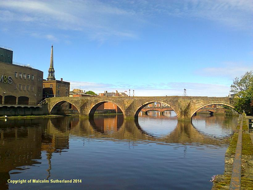
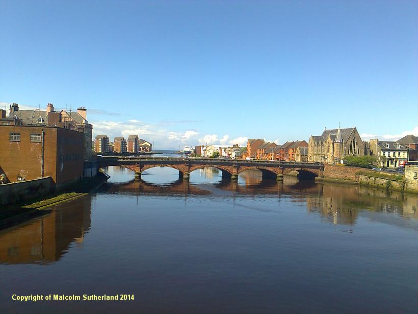
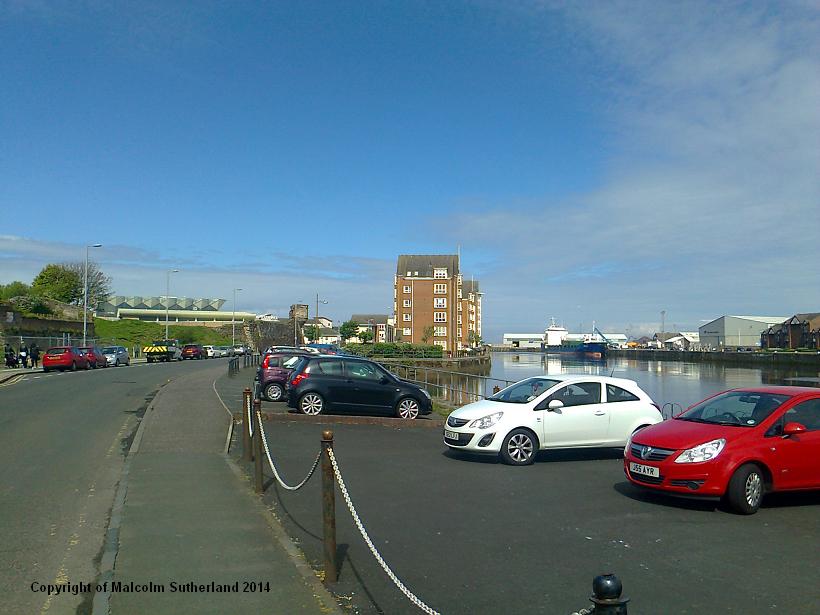
This walk starts at the mouth of the River Ayr, which is less than 100 yards from Ayr railway station, and only a couple of streets away from Ayr bus station. Walk along Smith Street and turn off Mill Street onto the path alongside the river. Cross over the cantilever pedestrian bridge and walk along the other side towards the old toll bridge (photo 1). Cross over the toll bridge, where you can see the more recent but equally splended Sandgate road bridge (photo 2).
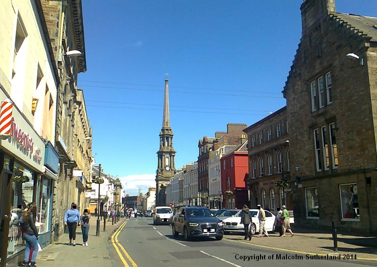
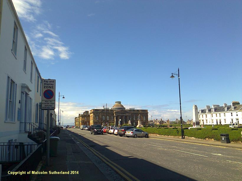
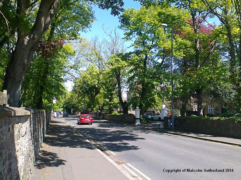
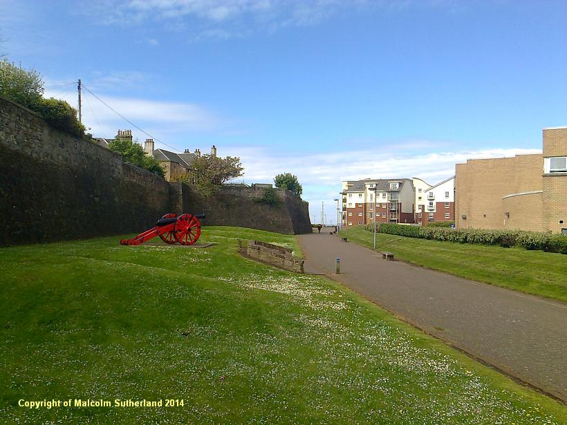
The lane from the toll bridge leads to the part-pedestrianised High Street. Turn right and then walk south along the Sandgate road, past the town hall (photo 3) and along towards Wellington Square (photo 4). Sandgate road leads further south through some of Ayrshire's most prosperous suburbs (photo 5). However, in order to cover the whole stretch of Ayr Beach, turn back and walk towards Harbour Street (photo 6).There is a road on the left, which passes the Hannovarian castle wall (photo 7) and proceeds to the promenade (photo 8).
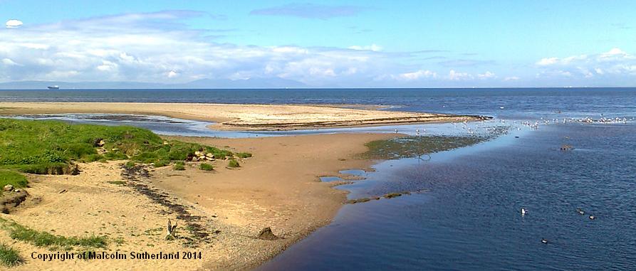
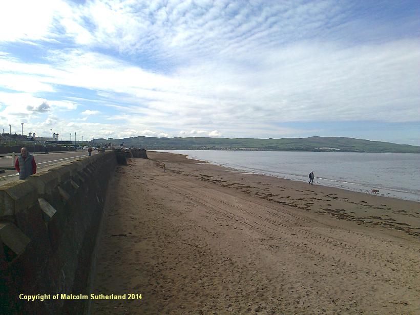
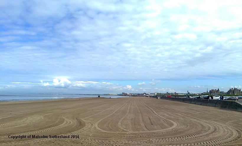
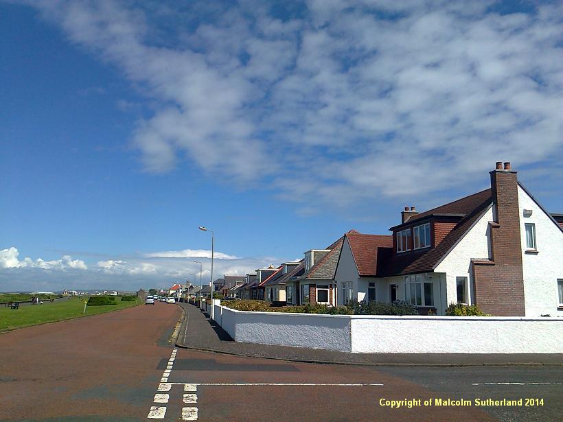
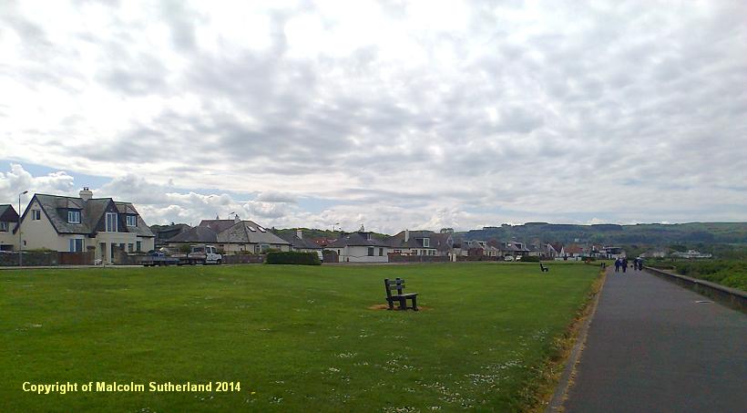
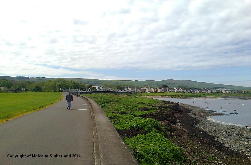
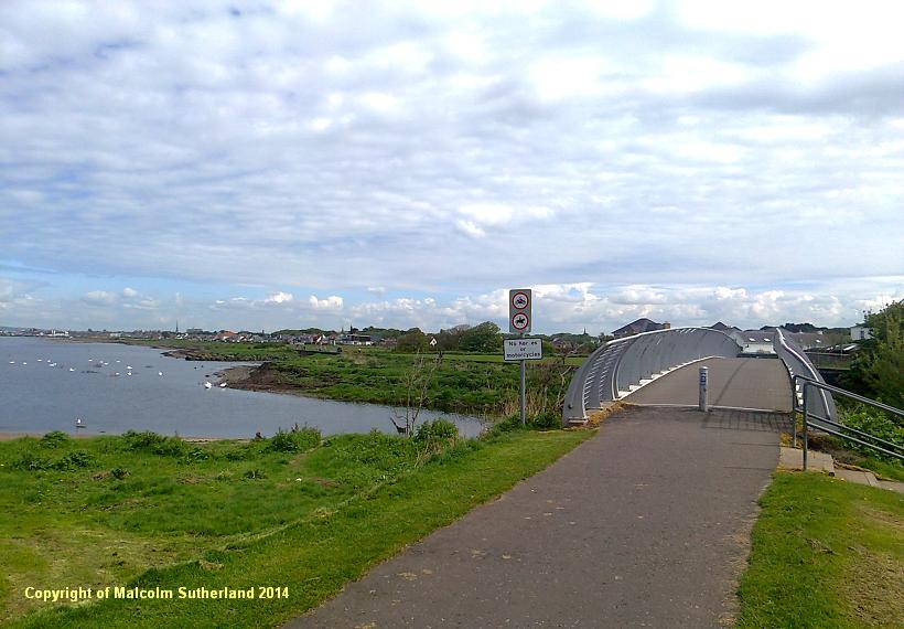
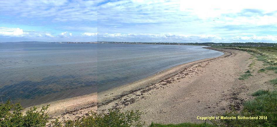
Step onto the beach and walk for about 1 kilometre, until you reach a grassy knoll and some buildings at the end of Blackburn Drive. This end point is marked by a car park facing onto the beach (photo 9). This beach is combed and tilled by a tractor - which poses a problem as well as a solution, as the sand is infirm and may be treacherous underfoot. Follow the path, which in turn follows Seafield Drive (photos 10, 11). The accompanying houses soon give way to wide open grass, ahead of which is a footbridge that has been constructed very recently (photo 12). Cross over the River Doon bridge (photo 13), and follow the path onwards to the car park beyond Castle Walk Road (photo 14).
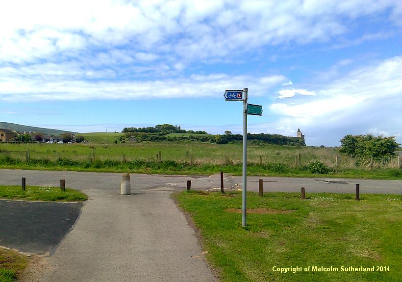
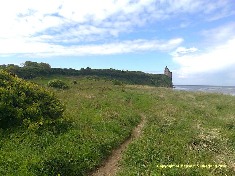
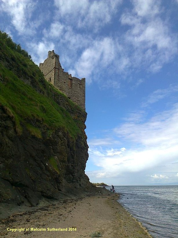
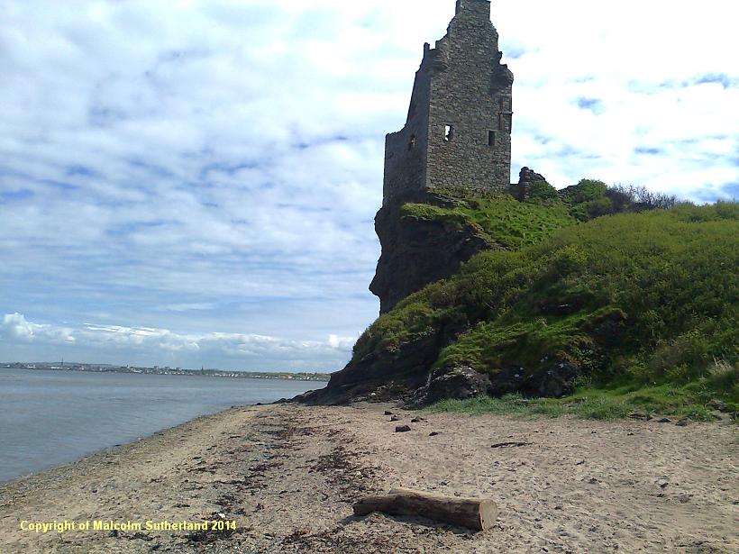
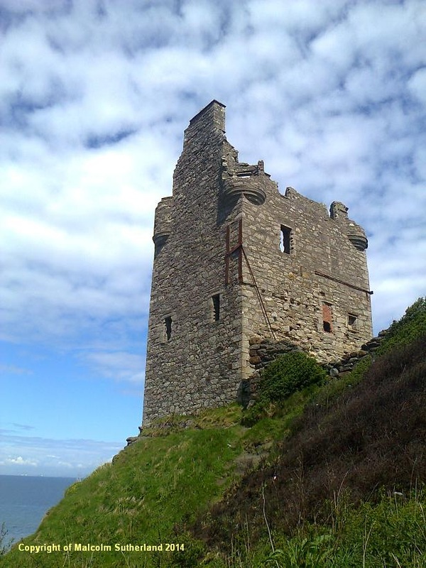
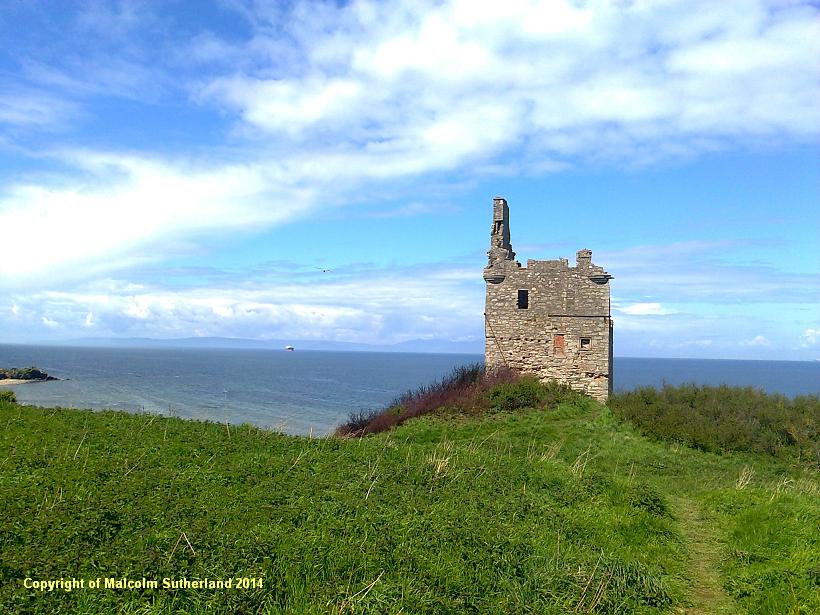
A faint trail through the long dune grass leads towards Greenan Castle (photo 15). The walker also has the option of walking along the beach (photo 16). On NO account attempt to scale the cliff beneath or leading up towards the castle. Instead - if the weather is good, and the tide is not too high - walk along the narrow rocky beach beneath the cliff and castle (photo 17a) and walk along the beach beyond for about 50 metres (photo 17b). You'll find a trail heading into the grass, and a slightly narrower trail passing through the long grass, and up the slope to the castle from behind (photo 17c). Children should not be taken up to the castle, not least because it is supported by flat, solid ground on only the landward side (photo 17d) - every other face of the castle stands on a precipice.
The lane from the toll bridge leads to the part-pedestrianised High Street. Turn right and then walk south along the Sandgate road, past the town hall (photo 3) and along towards Wellington Square (photo 4). Sandgate road leads further south through some of Ayrshire's most prosperous suburbs (photo 5). However, in order to cover the whole stretch of Ayr Beach, turn back and walk towards Harbour Street (photo 6).There is a road on the left, which passes the Hannovarian castle wall (photo 7) and proceeds to the promenade (photo 8).
Step onto the beach and walk for about 1 kilometre, until you reach a grassy knoll and some buildings at the end of Blackburn Drive. This end point is marked by a car park facing onto the beach (photo 9). This beach is combed and tilled by a tractor - which poses a problem as well as a solution, as the sand is infirm and may be treacherous underfoot. Follow the path, which in turn follows Seafield Drive (photos 10, 11). The accompanying houses soon give way to wide open grass, ahead of which is a footbridge that has been constructed very recently (photo 12). Cross over the River Doon bridge (photo 13), and follow the path onwards to the car park beyond Castle Walk Road (photo 14).
A faint trail through the long dune grass leads towards Greenan Castle (photo 15). The walker also has the option of walking along the beach (photo 16). On NO account attempt to scale the cliff beneath or leading up towards the castle. Instead - if the weather is good, and the tide is not too high - walk along the narrow rocky beach beneath the cliff and castle (photo 17a) and walk along the beach beyond for about 50 metres (photo 17b). You'll find a trail heading into the grass, and a slightly narrower trail passing through the long grass, and up the slope to the castle from behind (photo 17c). Children should not be taken up to the castle, not least because it is supported by flat, solid ground on only the landward side (photo 17d) - every other face of the castle stands on a precipice.
All text, maps and imagery are copyright of Dr Malcolm Sutherland (2013 - 14).
DISCLAIMER: visitors to this website must take all necessary precautions when travelling to the sites listed in this website and when walking. People viewing this website are entirely responsible for their own transportation, health and safety if they travel to relevant locations and attempt any of the walks listed on this website.
DISCLAIMER: visitors to this website must take all necessary precautions when travelling to the sites listed in this website and when walking. People viewing this website are entirely responsible for their own transportation, health and safety if they travel to relevant locations and attempt any of the walks listed on this website.
