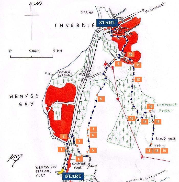
WALK 6 - BLOOD MOSS HILL

This is a minor foothill at the edge of the Muirshiel hills, near Greenock, Inverkip and Wemyss Bay. However, this hill is difficult to access, not least because of the pylons which sweep up and over the south side of the hill. Access to the summit (more of a plateau) is from the north only, and walkers are strongly advised not to go anywhere near the pylons. Provided the weather is fine, the views near the top are worth the long detour (unless you choose to approach from Inverkip). The first part of this guide is for walkers alighting at Wemyss Bay.
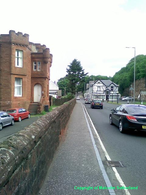
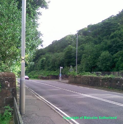
Much of this walk follows the same route taken for the Back road to Inverkip route (also included on this website). However, start from Wemyss Bay railway station or bus stop and walk north, towards and under the railway bridge and along the A78 towards the hill out of Wemyss Bay (Photo 1). Climb the hill until you see the small turn-off on the right over a weak bridge (Photo 2).
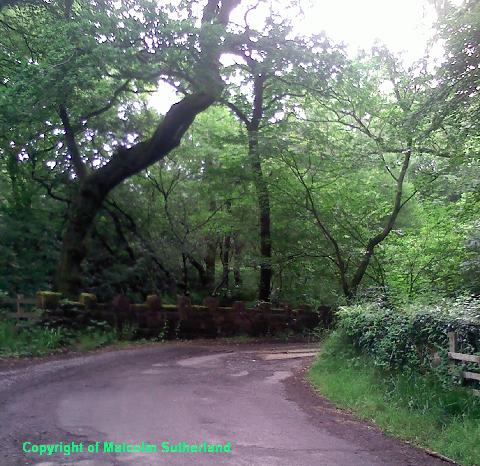
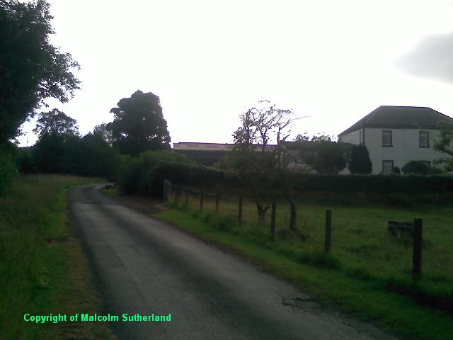
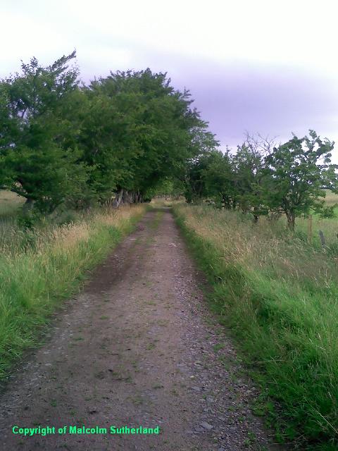
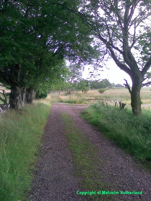
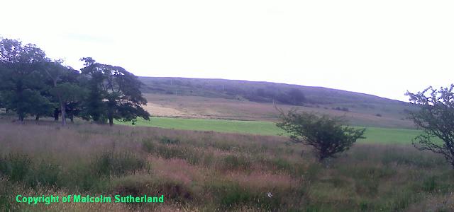
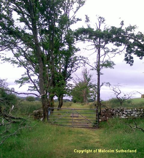
This bridge leads up the back road towards the caravan park, through a dense wood up a steep hill, and over a narrow wooden bridge (Photo 3). After a few hundred yards you'll exit the woodland and approach a farm house (Photo 4), where there is a path leading off from the left side towards the old back road to Inverkip. Follow the old road through the fields (which is mostly unfenced) (Photos 5, 6). You should be able to see the Blood Moss hill behind the fields (Photo 7). The old road includes a few gates, including one leading into a canopy (Photo 8).
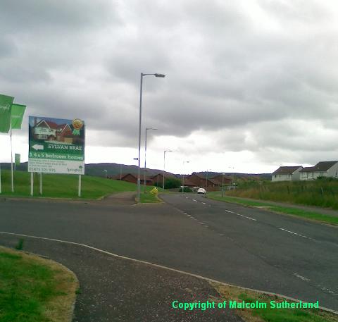
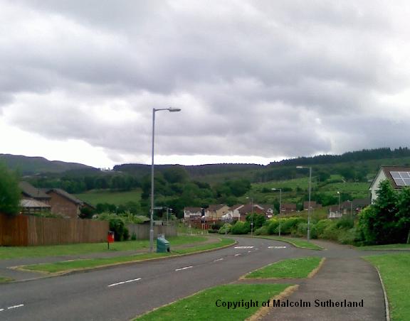
After about half a mile, you should reach the main road leading to the back estate in Inverkip. Turn right and follow this road. Beware of the four sets of pylons which also cross over the road (this is not a walk for minors). After another half-mile, you'll reach the top of a hill, and a double-junction with two roads on the left (Photo 9). Ignore both roads, and carry on ahead and into the housing estate (Photo 10). There are two roads on the right as you wander down a shallow hill. Between these roads there is a path to the right, which leads into Leapmoor Forest (Photo 11).
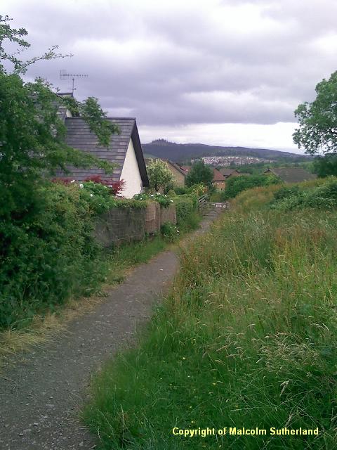
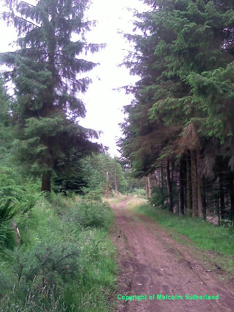
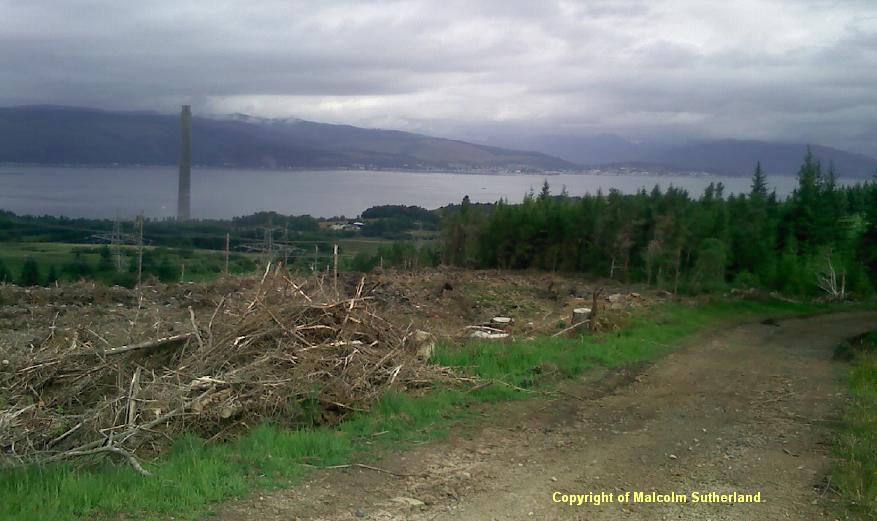
Follow the path, which leaves the housing estate and passes between a field and some woodland. After a short distance, you'll find a stile on the right, as the path bends left. Cross over the turnstile and carry on through the woodland (Photo 12), but be vigilant as this is a commercial woodland with operating machinery. The path twists and bends its way up a steep hill and into a clearing (Photo 13), from which there is an excellent view across to Argyll. The path turns east and across flatter terrain (Photo 14). After a while you'll find a junction, with a path veering off to the right (which is incorrectly signposted 'Wemyss Bay') (Photo 15).
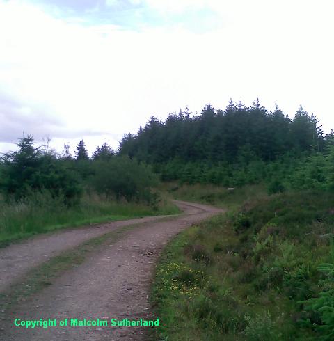
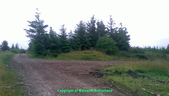
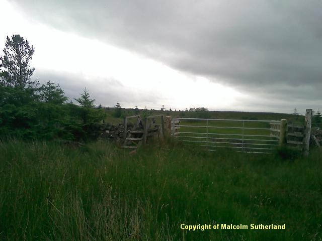
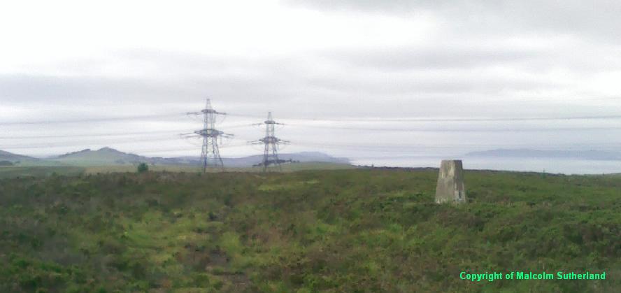
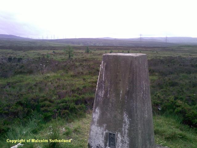
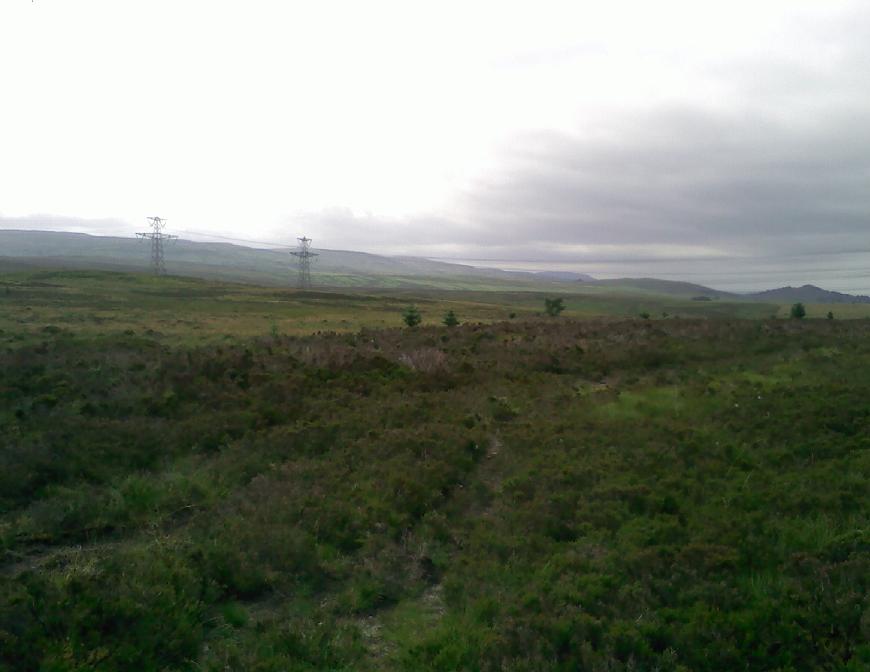
This path passes through some woodland, but then there is a gate (Photo 16), and the path almost completely disappears into the moss. This is, literally, a 'Moss' hill, and you should not walk here in the rain. Pick your way across the terrain, following the faint tread marks towards the trig point of Blood Moss, which marks the approximate summit (Photos 17, 18). You may spot a faint track leading south from here (Photo 19); ignore it, as this leads to the pylons themselves.
This bridge leads up the back road towards the caravan park, through a dense wood up a steep hill, and over a narrow wooden bridge (Photo 3). After a few hundred yards you'll exit the woodland and approach a farm house (Photo 4), where there is a path leading off from the left side towards the old back road to Inverkip. Follow the old road through the fields (which is mostly unfenced) (Photos 5, 6). You should be able to see the Blood Moss hill behind the fields (Photo 7). The old road includes a few gates, including one leading into a canopy (Photo 8).
After about half a mile, you should reach the main road leading to the back estate in Inverkip. Turn right and follow this road. Beware of the four sets of pylons which also cross over the road (this is not a walk for minors). After another half-mile, you'll reach the top of a hill, and a double-junction with two roads on the left (Photo 9). Ignore both roads, and carry on ahead and into the housing estate (Photo 10). There are two roads on the right as you wander down a shallow hill. Between these roads there is a path to the right, which leads into Leapmoor Forest (Photo 11).
Follow the path, which leaves the housing estate and passes between a field and some woodland. After a short distance, you'll find a stile on the right, as the path bends left. Cross over the turnstile and carry on through the woodland (Photo 12), but be vigilant as this is a commercial woodland with operating machinery. The path twists and bends its way up a steep hill and into a clearing (Photo 13), from which there is an excellent view across to Argyll. The path turns east and across flatter terrain (Photo 14). After a while you'll find a junction, with a path veering off to the right (which is incorrectly signposted 'Wemyss Bay') (Photo 15).
This path passes through some woodland, but then there is a gate (Photo 16), and the path almost completely disappears into the moss. This is, literally, a 'Moss' hill, and you should not walk here in the rain. Pick your way across the terrain, following the faint tread marks towards the trig point of Blood Moss, which marks the approximate summit (Photos 17, 18). You may spot a faint track leading south from here (Photo 19); ignore it, as this leads to the pylons themselves.
All text, maps and imagery are copyright of Dr Malcolm Sutherland (2013 - 14).
DISCLAIMER: visitors to this website must take all necessary precautions when travelling to the sites listed in this website and when walking. People viewing this website are entirely responsible for their own transportation, health and safety if they travel to relevant locations and attempt any of the walks listed on this website.
DISCLAIMER: visitors to this website must take all necessary precautions when travelling to the sites listed in this website and when walking. People viewing this website are entirely responsible for their own transportation, health and safety if they travel to relevant locations and attempt any of the walks listed on this website.
